
1928 Map of Wolfeboro
USGS Topo · Published 1928About this map
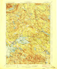
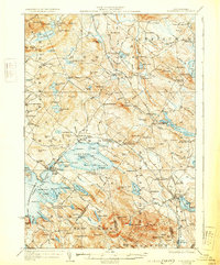
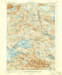
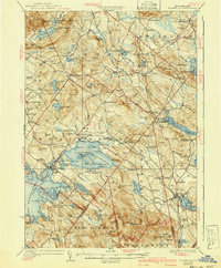
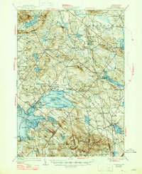
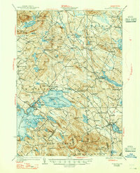
The eastern shores of Winnipesaukee Lake and the recreational waters of Lake Wentworth define this New Hampshire landscape during the late 1920s. Centered on the hub of Wolfeboro, the area showcases a well-developed network of lakeside settlements and seasonal communities, including Roland Park and South Wolfeboro. The Boston and Maine RR winds through the topography, serving vital stops like Cotton Valley Sta and Brookfield Sta, connecting the timber and agricultural lands of the Ossipee Mts to larger markets.
Find a feature on this map
166 named features on this map. Tap any name to fly to it.
Don’t see what you’re looking for? This feature index may not catch every label — zoom into the map to look around manually.
Map Details
Editions of this 1928 Wolfeboro Map
7 editions found
Other maps of this area

1891 · Berwick
USGS Topo · 1:62,500

1891 · Newfield
USGS Topo · 1:62,500

1893 · Berwick
USGS Topo · 1:62,500

1893 · Newfield
USGS Topo · 1:62,500

1909 · Winnepesaukee
USGS Topo · 1:62,500

1910 · Kezar Falls
USGS Topo · 1:48,000

1911 · Kezar Falls
USGS Topo · 1:62,500

1919 · Gilmanton
USGS Topo · 1:62,500

1919 · Alton
USGS Topo · 1:62,500

1927 · Gilmanton
USGS Topo · 1:62,500