
2021 Map of Wolsey SE
USGS Topo · Published 2021About this map
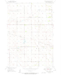
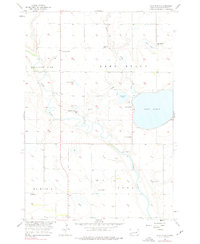
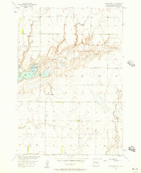
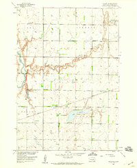
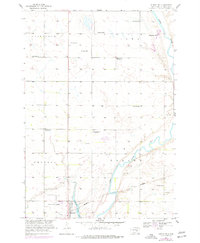
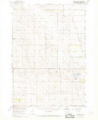
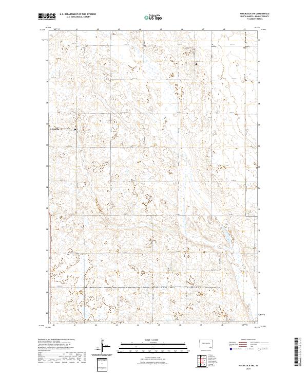
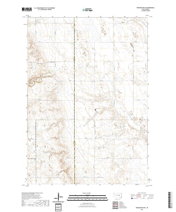
The prairie landscape west of Huron is defined by a grid of agricultural section lines and seasonal water bodies in this contemporary topographic survey. Broad depressions like Schwartz Slough and the ephemeral drainage of Stony Run dominate the northern portion of the quadrangle, illustrating the natural glacial hydrology of Beadle County. Further south, Cain Cr meanders toward the James River basin, cutting through a landscape primarily dedicated to large-scale farming and rural infrastructure.
Find a feature on this map
31 named features on this map. Tap any name to fly to it.
Don’t see what you’re looking for? This feature index may not catch every label — zoom into the map to look around manually.
Map Details
Editions of this 2021 Wolsey SE Map
This is the sole edition of this map. No revisions or reprints were ever made.
Historical Maps of Prairie Villa Mobile Court Through Time
26 maps found
1950 Wessington NE
Beadle County, SD
1951 Wessington SE
Beadle County, SD
1951 Wessington SW
Beadle County, SD
1956 Hitchcock SE
Beadle County, SD
1956 Lake Byron
Beadle County, SD
1956 Lake Byron SE
Beadle County, SD
1958 Huron NE
Beadle County, SD
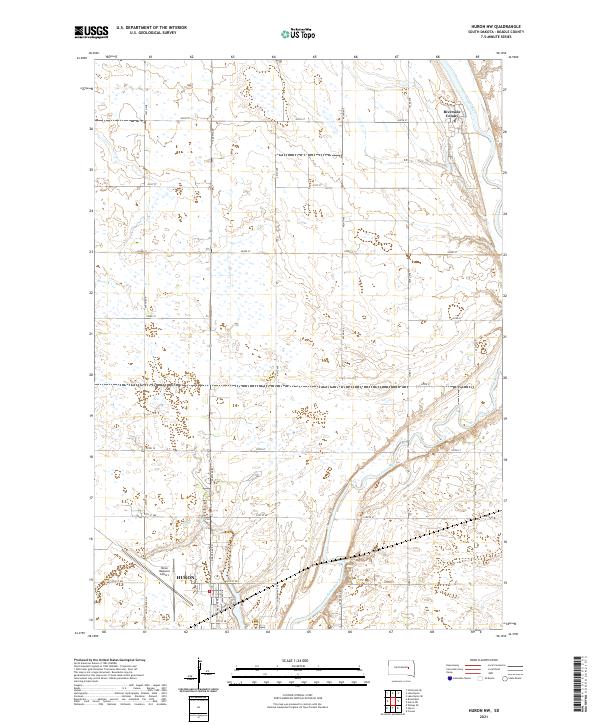
1958 Huron NW
Beadle County, SD
1967 Hitchcock SW
Beadle County, SD
1967 Tulare SE
Beadle County, SD
1967 Tulare SW
Beadle County, SD
1973 Staum Dam
Beadle County, SD
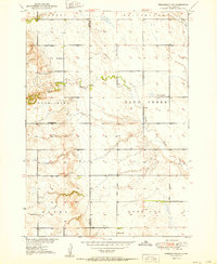
1973 Wolsey SE
Beadle County, SD
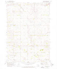
2021 Hitchcock SE
Beadle County, SD
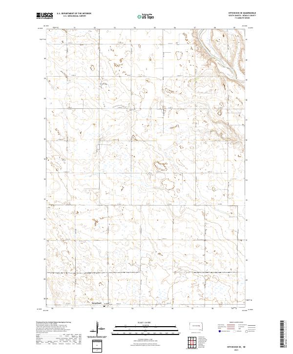
2021 Hitchcock SW
Beadle County, SD
2021 Huron NE
Beadle County, SD
2021 Huron NW
Beadle County, SD
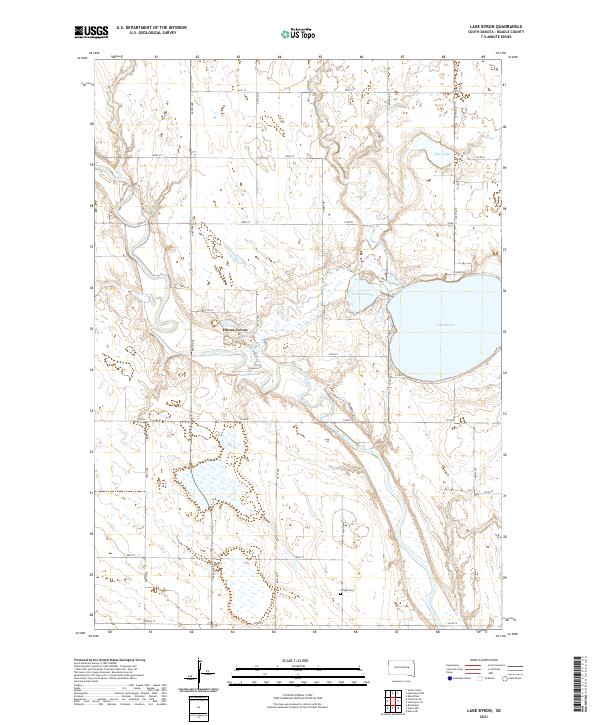
2021 Lake Byron
Beadle County, SD
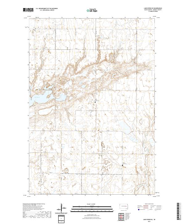
2021 Lake Byron SE
Beadle County, SD
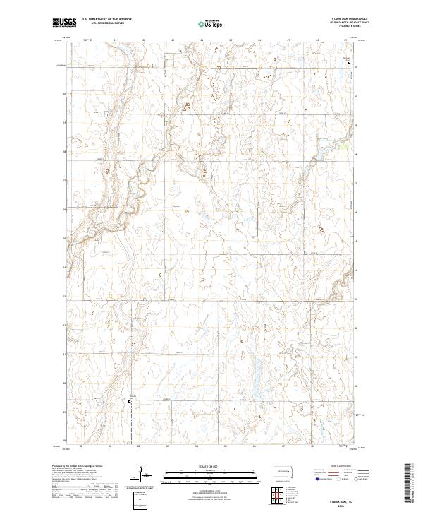
2021 Staum Dam
Beadle County, SD
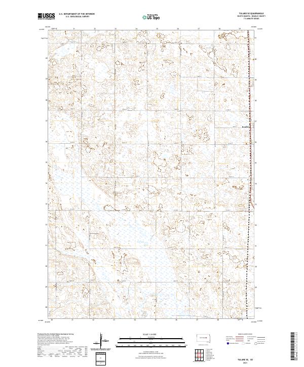
2021 Tulare SE
Beadle County, SD
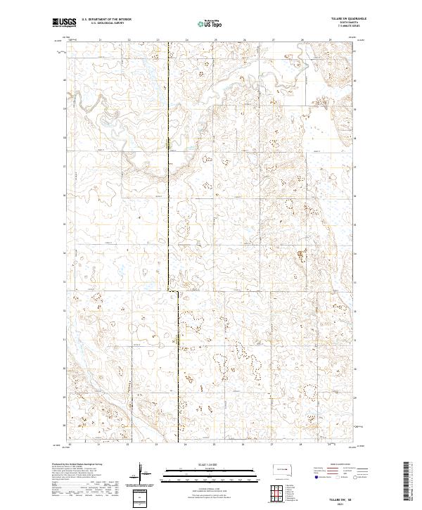
2021 Tulare SW
Beadle County, SD
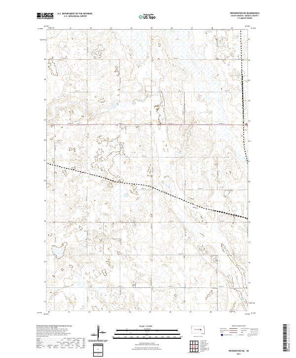
2021 Wessington NE
Beadle County, SD
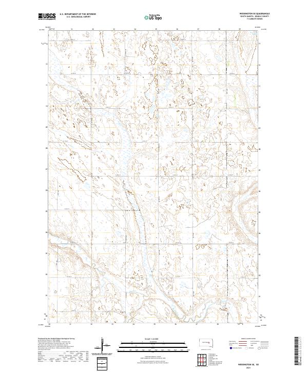
2021 Wessington SE
Beadle County, SD
2021 Wessington SW
Beadle County, SD
2021 Wolsey SE
Beadle County, SD