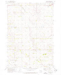
1973 Map of Wolsey SE
USGS Topo · Published 1976About this map
Carlyle and the surrounding agricultural townships of Hartland, Dearborn, and Grant define this 1970s landscape on the eastern edge of the James River Valley. The map captures a high-plains environment where the topography is shaped more by drainage and glacial depressions than elevation, seen in the winding path of Schwartz Slough and the lower reaches of Cain Creek. A central Townhall stands as a focal point for the rural community of Clyde township.
Find a feature on this map
14 named features on this map. Tap any name to fly to it.
Don’t see what you’re looking for? This feature index may not catch every label — zoom into the map to look around manually.
Map Details
Editions of this 1973 Wolsey SE Map
This is the sole edition of this map. No revisions or reprints were ever made.
Other maps of this area

1898 · Huron
USGS Topo · 1:125,000

1953 · Huron
USGS Topo · 1:250,000

1954 · Huron
USGS Topo · 1:250,000

1957 · Huron
USGS Topo · 1:24,000

1958 · Forestburg NW
USGS Topo · 1:24,000

1958 · Huron NW
USGS Topo · 1:24,000
1973 · Wolsey
USGS Topo · 1:24,000

1973 · Alpena
USGS Topo · 1:24,000
1973 · Broadland
USGS Topo · 1:24,000
1973 · Virgil
USGS Topo · 1:24,000