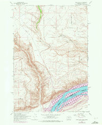
1962 Map of Wood Gulch
USGS Topo · Published 1972About this map
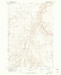
The Columbia River forms a massive geographical and political divide here, separating Washington from Oregon and Klickitat and Gilliam counties. Along the northern bank, the Burlington Northern railroad tracks trace the shoreline, while the Union Pacific runs along the southern bank through Umatilla County. The landscape is dominated by high plateau country carved by steep drainages like Wood Gulch and Juniper Canyon, which fall toward Columbia Lake. Local life is anchored at the Goodknight Ranch and Whitmore Ranch, with an isolated Cem (cemetery) located near the Sixprong Road junction. Near the settlement of Smythe, a Radio Tower stands as a modern landmark above the deep incision of Big Horn Canyon.
Find a feature on this map
31 named features on this map. Tap any name to fly to it.
Don’t see what you’re looking for? This feature index may not catch every label — zoom into the map to look around manually.
Map Details
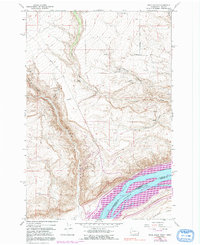
Editions of this 1962 Wood Gulch Map
3 editions found
Other maps of this area

1916 · Arlington
USGS Topo · 1:125,000

1953 · The Dalles
USGS Topo · 1:250,000

1956 · The Dalles
USGS Topo · 1:250,000

1957 · The Dalles
USGS Topo · 1:250,000
1962 · Douty Canyon
USGS Topo · 1:24,000

1962 · Heppner Junction
USGS Topo · 1:24,000
1962 · Crider Valley
USGS Topo · 1:24,000

1962 · Wood Gulch
USGS Topo · 1:24,000
1964 · Horn Butte
USGS Topo · 1:24,000
1965 · Bickleton
USGS Topo · 1:24,000