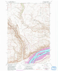
1962 Map of Wood Gulch
USGS Topo · Published 1991About this map
The Columbia River Lake Umatilla dominates the southern edge of this landscape, marking the interstate border between Washington and Oregon. Rising from the riverbanks, the terrain is defined by deep incisions like Wood Gulch and Juniper Canyon, which cut through the high plateaus of Hurlburt Flats. Agricultural life in the mid-twentieth century is centered on isolated family operations such as Goodknight Ranch and Whitmore Ranch, supported by a network of unimproved roads including Whitmore Road and Sixprong Road. Evidence of rural infrastructure is found in the scattered storage bins and a prominent Smythe radio tower. Small-scale industry is present through a gravel pit and an extensive pipeline that traverses the northern canyons, while a lonely cemetery and numerous springs denote the early settlement patterns of this arid region.
Find a feature on this map
24 named features on this map. Tap any name to fly to it.
Don’t see what you’re looking for? This feature index may not catch every label — zoom into the map to look around manually.
Map Details
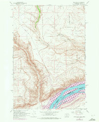
Editions of this 1962 Wood Gulch Map
3 editions found
Other maps of this area

1916 · Arlington
USGS Topo · 1:125,000

1953 · The Dalles
USGS Topo · 1:250,000

1956 · The Dalles
USGS Topo · 1:250,000

1957 · The Dalles
USGS Topo · 1:250,000
1962 · Douty Canyon
USGS Topo · 1:24,000

1962 · Heppner Junction
USGS Topo · 1:24,000
1962 · Crider Valley
USGS Topo · 1:24,000

1962 · Wood Gulch
USGS Topo · 1:24,000
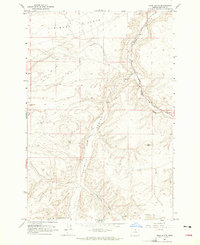
1964 · Horn Butte
USGS Topo · 1:24,000
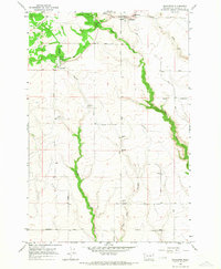
1965 · Bickleton
USGS Topo · 1:24,000