
1958 Map of Wood Island
USGS Topo · Published 1959About this map
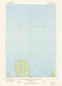
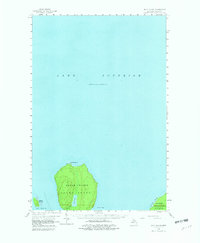
Grand Island dominates this mid-century maritime survey, sitting prominently within the cold waters of Lake Superior. The interior of the island features the secluded Echo Lake, while its rugged perimeter is marked by North Point and a solitary Lighthouse on the northern shore. The map illustrates a landscape largely shaped by federal conservation and natural wonder, capturing the northern edge of the Hiawatha National Forest and the celebrated formations of the Pictured Rocks along the mainland coast. Between the mainland and the island's southern reach lies Trout Bay, a sheltered pocket in an otherwise exposed nautical environment. This survey provides a clear view of the area's geography before the era of intensive modern tourism, focusing on the essential coastal landmarks and timberlands of Alger County.
Find a feature on this map
11 named features on this map. Tap any name to fly to it.
Don’t see what you’re looking for? This feature index may not catch every label — zoom into the map to look around manually.
Map Details
Editions of this 1958 Wood Island Map
3 editions found
Other maps of this area

1958 · Munising
USGS Topo · 1:62,500

1958 · Au Train
USGS Topo · 1:62,500

1958 · Shingleton
USGS Topo · 1:62,500

1958 · Grand Portal Point
USGS Topo · 1:62,500

1958 · Marquette
USGS Topo · 1:250,000

1960 · Marquette
USGS Topo · 1:250,000

1961 · Marquette
USGS Topo · 1:250,000

1968 · Marquette
USGS Topo · 1:250,000

1983 · Munising
USGS Topo · 1:100,000
1983 · Grand Portal Point
USGS Topo · 1:24,000