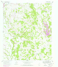
1960 Map of Woodbine
USGS Topo · Published 1978About this map
The southeastern edge of Gainesville anchors this survey of eastern Cooke County, where the plains begin to give way to the drainage basins of the Elm Fork Trinity River. This 1960s-era landscape is defined by its transition from the established rail and street grid of the county seat to the emerging recreational waters of Lake Kiowa in the east. The rural community of Woodbine serves as a secondary focal point, surrounded by a network of creek systems including Pecan Creek and Wheeler Creek. The mapping reveals a countryside in transition, balancing the agricultural roots of small settlements with the mid-century development of local reservoirs and the expansion of the regional infrastructure around the Elm Fork Trinity River.
Find a feature on this map
6 named features on this map. Tap any name to fly to it.
Don’t see what you’re looking for? This feature index may not catch every label — zoom into the map to look around manually.
Map Details
Editions of this 1960 Woodbine Map
2 editions found
Other maps of this area

1901 · Denison
USGS Topo · 1:125,000

1902 · Gainesville
USGS Topo · 1:125,000

1943 · Gainesville
USGS Topo · 1:125,000

1954 · Sherman
USGS Topo · 1:250,000

1958 · Whitesboro
USGS Topo · 1:62,500

1958 · Sherman
USGS Topo · 1:250,000

1960 · Callisburg
USGS Topo · 1:24,000

1960 · Gainesville South
USGS Topo · 1:24,000

1960 · Gainesville North
USGS Topo · 1:24,000

1960 · Woodbine
USGS Topo · 1:24,000