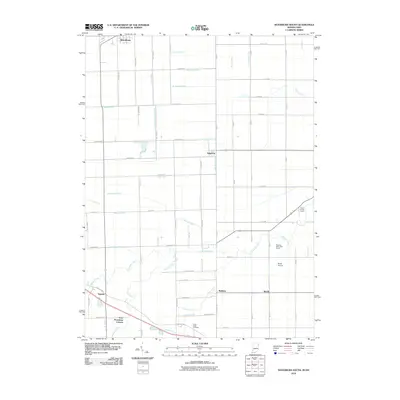
2010 Map of Woodburn South
USGS Topo · Published 2010About this map
Flatrock Creek and its many tributaries define the drainage of this agricultural landscape along the Indiana-Ohio border in 2010. The region is marked by an extensive network of man-made waterways, including the Edgerton-Carson Ditch and Jones Branch Ditch, which support the surrounding farm tracts. Small rural settlements like Edgerton, Baldwin, and Townley are connected by a precise grid of country roads, while the uniquely named Four Presidents Corners sits at the junction of several county routes in the southwest. Local landmarks such as the Sugar Ridge Cemetery and the Church of God Camp near the eastern boundary provide genealogical and cultural context for the area. The presence of Brady Airport and the Pleasant Valley Golf Course further illustrate the land use patterns of this borderland community at the start of the 21st century.
Find a feature on this map
72 named features on this map. Tap any name to fly to it.
Don’t see what you’re looking for? This feature index may not catch every label — zoom into the map to look around manually.
Map Details
Editions of this 2010 Woodburn South Map
This is the sole edition of this map. No revisions or reprints were ever made.
Other maps of this area

1914 · Van Wert
USGS Topo · 1:62,500

1914 · Paulding
USGS Topo · 1:62,500

1944 · Van Wert
USGS Topo · 1:62,500

1944 · Paulding
USGS Topo · 1:62,500

1953 · Fort Wayne
USGS Topo · 1:250,000

1953 · Muncie
USGS Topo · 1:250,000

1956 · Muncie
USGS Topo · 1:250,000

1956 · Fort Wayne
USGS Topo · 1:250,000

1957 · Maples
USGS Topo · 1:24,000

1958 · Grabill
USGS Topo · 1:24,000