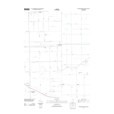
2013 Map of Woodburn South
USGS Topo · Published 2013About this map
Woodburn and Edgerton anchor this 2013 survey of the Indiana-Ohio borderlands, where the landscape is defined by a dense network of engineered drainage that has transformed the local hydrology. The prevalence of named ditches, such as Edgerton-Carson Ditch and Litzenberg Ditch, indicates the intensity of agricultural land management required in this region. These man-made channels intersect natural waterways like Flatrock Cr and Hoffman Cr, illustrating the complex relationship between regional development and the natural water table.
Find a feature on this map
86 named features on this map. Tap any name to fly to it.
Don’t see what you’re looking for? This feature index may not catch every label — zoom into the map to look around manually.
Map Details
Editions of this 2013 Woodburn South Map
This is the sole edition of this map. No revisions or reprints were ever made.
Other maps of this area

1914 · Van Wert
USGS Topo · 1:62,500

1914 · Paulding
USGS Topo · 1:62,500

1944 · Van Wert
USGS Topo · 1:62,500

1944 · Paulding
USGS Topo · 1:62,500

1953 · Fort Wayne
USGS Topo · 1:250,000

1953 · Muncie
USGS Topo · 1:250,000

1956 · Muncie
USGS Topo · 1:250,000

1956 · Fort Wayne
USGS Topo · 1:250,000

1957 · Maples
USGS Topo · 1:24,000

1958 · Grabill
USGS Topo · 1:24,000