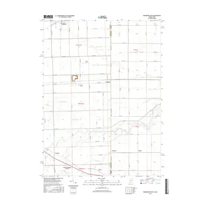
2016 Map of Woodburn South
USGS Topo · Published 2016About this map
Woodburn and Edgerton anchor this 2016 survey along the state line where northeastern Indiana meets northwestern Ohio. The landscape is defined by an intricate network of drainage features, including Johnson Ditch, Miller Ditch, and Romy Bobilya Ditch, which support the intensive agricultural use of the Maumee Lake Plain. The southern portion of the map follows the meandering path of Flatrock Cr, passing through small crossroads and rail-adjacent points like Baldwin and McGill. This edition captures the rural settlement pattern of Allen County just as Old Us HWY 30 and the railroad corridors continue to shape local transit. Genealogists may find value in the location of Sugar Ridge Cem near the junction of White Ditch and Rossworm RD, while the inclusion of Basting Airport and Steinman Airport provides insight into local private aviation infrastructure during this period.
Find a feature on this map
100 named features on this map. Tap any name to fly to it.
Don’t see what you’re looking for? This feature index may not catch every label — zoom into the map to look around manually.
Map Details
Editions of this 2016 Woodburn South Map
This is the sole edition of this map. No revisions or reprints were ever made.
Other maps of this area

1914 · Van Wert
USGS Topo · 1:62,500

1914 · Paulding
USGS Topo · 1:62,500

1944 · Van Wert
USGS Topo · 1:62,500

1944 · Paulding
USGS Topo · 1:62,500

1953 · Fort Wayne
USGS Topo · 1:250,000

1953 · Muncie
USGS Topo · 1:250,000

1956 · Muncie
USGS Topo · 1:250,000

1956 · Fort Wayne
USGS Topo · 1:250,000

1957 · Maples
USGS Topo · 1:24,000

1958 · Grabill
USGS Topo · 1:24,000