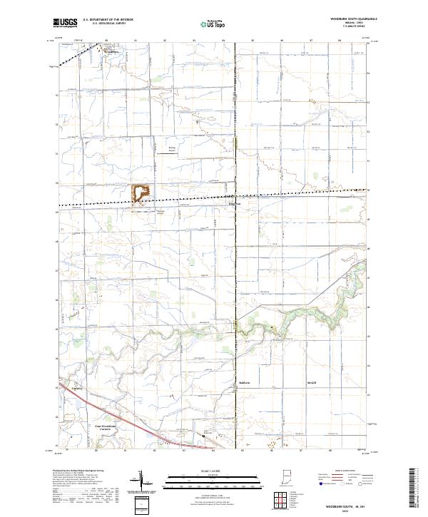
2022 Map of Woodburn South
USGS Topo · Published 2022This historical map portrays the area of Woodburn South in 2022, primarily covering Allen County as well as portions of Allen County and Ohio. Featuring a scale of 1:24000, this map provides a highly detailed snapshot of the terrain, roads, buildings, counties, and historical landmarks in the Woodburn South region at the time. Published in 2022, it is the sole known edition of this map.
Find a feature on this map
102 named features on this map. Tap any name to fly to it.
Don’t see what you’re looking for? This feature index may not catch every label — zoom into the map to look around manually.
Map Details
Editions of this 2022 Woodburn South Map
This is the sole edition of this map. No revisions or reprints were ever made.
Historical Maps of McGill Through Time
26 maps found

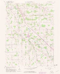
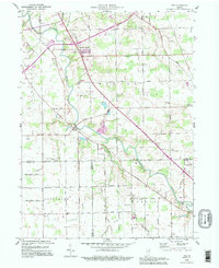
1956 Cedarville
Allen County, IN
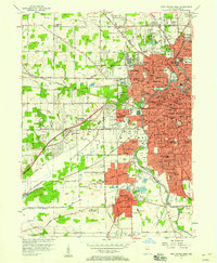
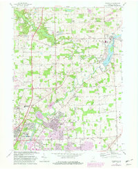
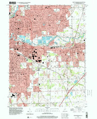
1956 Fort Wayne East
Allen County, IN
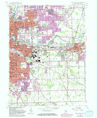
1956 Fort Wayne West
Allen County, IN
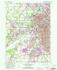
1957 Maples
Allen County, IN
1958 Woodburn North
Allen County, IN
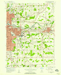
1958 Woodburn South
Allen County, IN
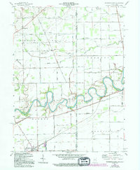
1960 Dixon
Allen County, IN
1961 Arcola
Allen County, IN
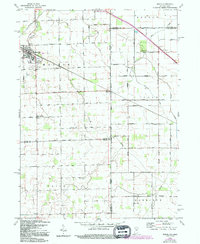
1962 Poe
Allen County, IN
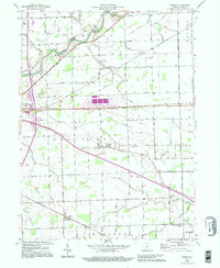
1963 Cedarville
Allen County, IN
1963 Fort Wayne East
Allen County, IN
1963 Fort Wayne West
Allen County, IN
1992 Maples
Allen County, IN

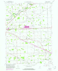
1992 Woodburn South
Allen County, IN
1994 Poe
Allen County, IN
1998 Fort Wayne East
Allen County, IN

1998 Fort Wayne West
Allen County, IN
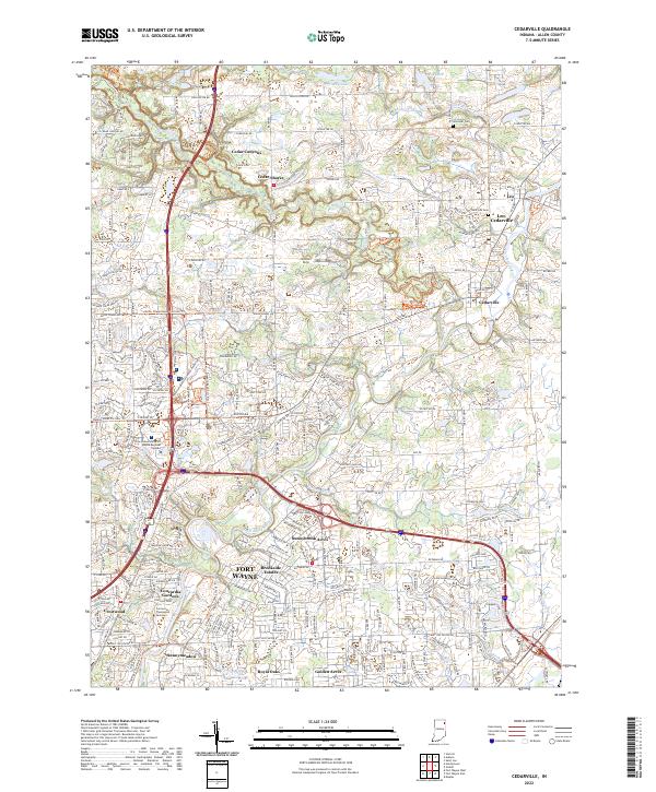
2022 Cedarville
Allen County, IN
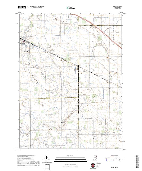
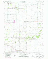
2022 Dixon
Allen County, IN
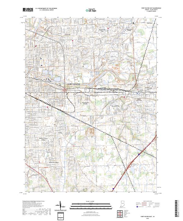
2022 Fort Wayne East
Allen County, IN
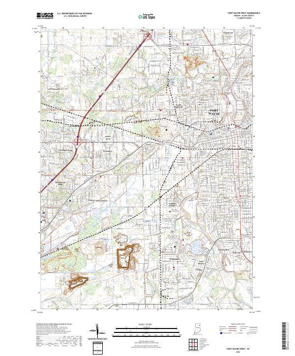
2022 Fort Wayne West
Allen County, IN
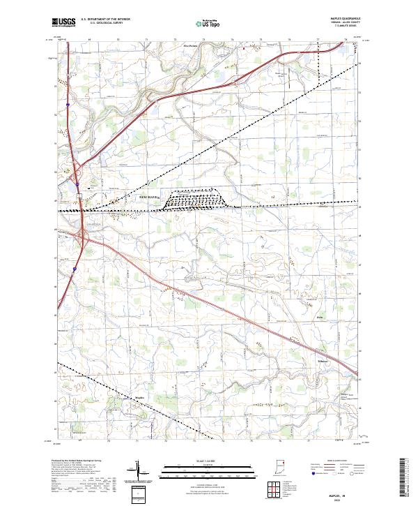
2022 Maples
Allen County, IN
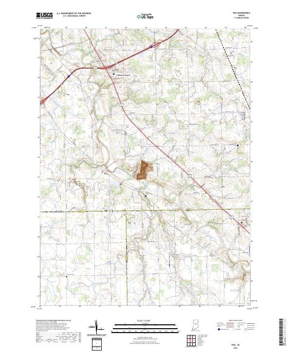
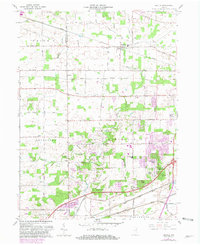
2022 Poe
Allen County, IN
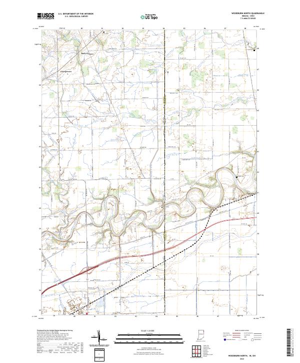
2022 Woodburn North
Allen County, IN
2022 Woodburn South
Allen County, IN
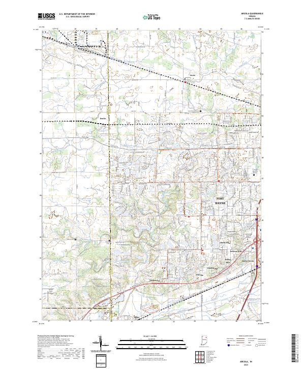
2023 Arcola
Allen County, IN