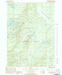
1985 Map of Woodland Park
USGS Topo · Published 1985About this map
Manistee National Forest dominates this portion of Newaygo County, where a dense network of glacial kettle lakes and small streams defines the landscape. The small settlements of Woodland Park and Bitely serve as focal points in the north, while Brohman is situated further south along the forest boundary. The presence of a Gravel Pit near Brohman suggests the local extraction of glacial deposits, a common industry in this part of Michigan.
Find a feature on this map
40 named features on this map. Tap any name to fly to it.
Don’t see what you’re looking for? This feature index may not catch every label — zoom into the map to look around manually.
Map Details
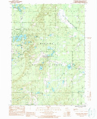
Editions of this 1985 Woodland Park Map
2 editions found
Other maps of this area

1954 · Midland
USGS Topo · 1:250,000

1958 · Midland
USGS Topo · 1:250,000

1958 · Woodville
USGS Topo · 1:62,500

1959 · Midland
USGS Topo · 1:250,000

1959 · Reed City
USGS Topo · 1:62,500

1959 · Baldwin
USGS Topo · 1:62,500

1959 · White Cloud
USGS Topo · 1:62,500

1966 · Midland
USGS Topo · 1:250,000
1976 · White Cloud SW
USGS Topo · 1:24,000
1976 · Baldwin SE
USGS Topo · 1:24,000