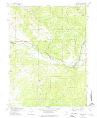
1972 Map of Woodland
USGS Topo · Published 1974About this map
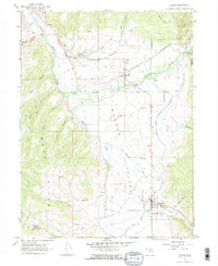
Woodland and Samak anchor this high-elevation landscape where the Provo River corridor serves as the primary artery for settlement and movement. This 1970s record illustrates the intersection of local industry and mountain recreation, featuring a Quarry and various mineral Prospects alongside established sites like the Fish Hatchery and Gaging Sta. The area is defined by its position between the Wasatch National Forest and Uinta National Forest, where the Summit Co Wasatch Co boundary line crosses the Provo River.
Find a feature on this map
36 named features on this map. Tap any name to fly to it.
Don’t see what you’re looking for? This feature index may not catch every label — zoom into the map to look around manually.
Map Details
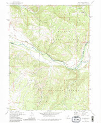
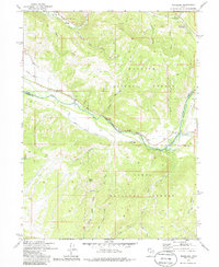
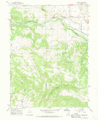
Editions of this 1972 Woodland Map
3 editions found
Other maps of this area

1885 · Salt Lake
USGS Topo · 1:250,000

1900 · Coalville
USGS Topo · 1:125,000

1903 · Coalville
USGS Topo · 1:125,000

1907 · Strawberry Valley
USGS Topo · 1:125,000

1909 · Strawberry Valley
USGS Topo · 1:125,000

1954 · Salt Lake City
USGS Topo · 1:250,000

1958 · Salt Lake City
USGS Topo · 1:250,000

1960 · Salt Lake City
USGS Topo · 1:250,000
1967 · Francis
USGS Topo · 1:24,000
1967 · Kamas
USGS Topo · 1:24,000