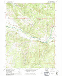
1972 Map of Woodland
USGS Topo · Published 1985About this map
Wasatch National Forest and Uinta National Forest meet in this 1970s survey of the high country surrounding the upper Provo River. The small settlement of Woodland occupies the river valley, situated near a local Cem and Quarry, while Samak sits to the north along Beaver Creek. The landscape is defined by the transition from valley floor to steep drainages like Red Pine Canyon and Failure Canyon, where numerous Prospects indicate the region's mineral history.
Find a feature on this map
37 named features on this map. Tap any name to fly to it.
Don’t see what you’re looking for? This feature index may not catch every label — zoom into the map to look around manually.
Map Details
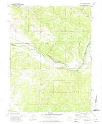
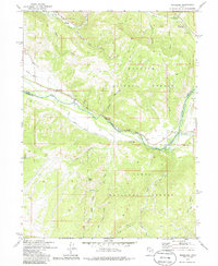
Editions of this 1972 Woodland Map
3 editions found
Other maps of this area

1885 · Salt Lake
USGS Topo · 1:250,000

1900 · Coalville
USGS Topo · 1:125,000

1903 · Coalville
USGS Topo · 1:125,000

1907 · Strawberry Valley
USGS Topo · 1:125,000

1909 · Strawberry Valley
USGS Topo · 1:125,000

1954 · Salt Lake City
USGS Topo · 1:250,000

1958 · Salt Lake City
USGS Topo · 1:250,000

1960 · Salt Lake City
USGS Topo · 1:250,000

1967 · Francis
USGS Topo · 1:24,000

1967 · Kamas
USGS Topo · 1:24,000