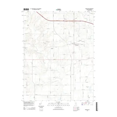
2015 Map of Woodlawn
USGS Topo · Published 2015About this map
Woodlawn serves as the central hub of this Jefferson County landscape, where the local road grid intersects with the Big Muddy River drainage basin. The area is characterized by a dense concentration of family and community burial sites, providing significant data for genealogical research. Notable locations include Oddfellows Cem, Reynolds Cem, and the Memorial Garden Cem near the town center. To the west, the terrain rises toward The Pinnacle, while the small settlements of Roaches and Villanova sit along established transport corridors. A complex network of creeks, including Rayse Creek, Novak Cr, and Back Br, carves through the southern half of the quadrangle, illustrating the natural irrigation patterns that have historically supported the agricultural development of this Illinois region.
Find a feature on this map
102 named features on this map. Tap any name to fly to it.
Don’t see what you’re looking for? This feature index may not catch every label — zoom into the map to look around manually.
Map Details
Editions of this 2015 Woodlawn Map
This is the sole edition of this map. No revisions or reprints were ever made.
Other maps of this area

1926 · Duquoin
USGS Topo · 1:62,500

1933 · Mount Vernon
USGS Topo · 1:48,000

1939 · Ina
USGS Topo · 1:62,500

1940 · Mount Vernon
USGS Topo · 1:62,500

1943 · Ina
USGS Topo · 1:62,500

1943 · Ashley
USGS Topo · 1:62,500

1946 · Ashley
USGS Topo · 1:62,500

1958 · Belleville
USGS Topo · 1:250,000

1962 · Belleville
USGS Topo · 1:250,000
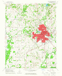
1965 · Mount Vernon
USGS Topo · 1:24,000