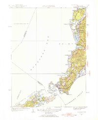
1953 Map of Woods Hole
USGS Topo · Published 1954About this map
Woods Hole and the surrounding southwestern tip of Cape Cod appear here as they were shaped by both maritime industry and early 20th-century development. The New York New Haven and Hartford railroad line cuts through the landscape, serving as a vital link between the mainland and the coastal settlements of West Falmouth and Falmouth. In the harbor areas, intricate bathymetry and maritime landmarks like Eel Pond, Great Harbor, and Penzance Pt highlight the region's importance as a naval and scientific hub.
Find a feature on this map
73 named features on this map. Tap any name to fly to it.
Don’t see what you’re looking for? This feature index may not catch every label — zoom into the map to look around manually.
Map Details
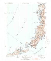
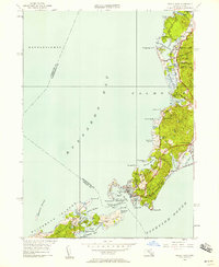
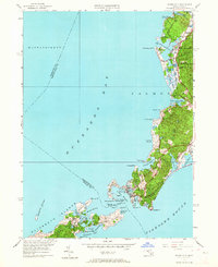
Editions of this 1953 Woods Hole Map
4 editions found
Other maps of this area

1885 · New Bedford
USGS Topo · 1:62,500

1886 · Falmouth
USGS Topo · 1:62,500

1887 · Gay Head
USGS Topo · 1:62,500

1887 · Marthas Vineyard
USGS Topo · 1:62,500

1888 · New Bedford
USGS Topo · 1:62,500

1888 · Falmouth
USGS Topo · 1:62,500

1889 · Gay Head
USGS Topo · 1:62,500

1889 · Marthas Vineyard
USGS Topo · 1:62,500

1893 · Gay Head
USGS Topo · 1:62,500

1893 · Falmouth
USGS Topo · 1:62,500