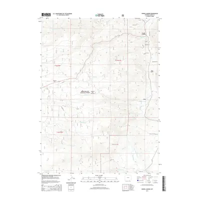
2015 Map of Woods Landing
USGS Topo · Published 2015About this map
The Laramie River flows through this high-altitude landscape in Albany County, where the plains of the Laramie Valley meet the rising terrain of the Medicine Bow Mountains. The settlement of Woods Landing serves as a focal point at the intersection of river and road, positioned near the northern boundary of the Medicine Bow National Forest. The map documents a traditional ranching and recreational corridor, showing the transition from the forested peaks of Chimney Park to the open draws and river bottoms near Jelm and New Jelm. Water management is central to the area's geography, evidenced by the Bitter and Boswell Ditch and numerous creek systems like Woods Cr and Fox Cr that drain the eastern slopes. Distinctive landmarks such as Sugarloaf and Pollock Draw provide orientation for those navigating the backcountry roads like Fox Ranch Rd.
Find a feature on this map
37 named features on this map. Tap any name to fly to it.
Don’t see what you’re looking for? This feature index may not catch every label — zoom into the map to look around manually.
Map Details
Editions of this 2015 Woods Landing Map
This is the sole edition of this map. No revisions or reprints were ever made.
Other maps of this area

1895 · Laramie
USGS Topo · 1:125,000

1902 · Laramie
USGS Topo · 1:125,000

1905 · Laramie
USGS Topo · 1:125,000

1906 · Medicine Bow
USGS Topo · 1:125,000

1906 · Laramie
USGS Topo · 1:125,000

1908 · Laramie
USGS Topo · 1:125,000

1908 · Medicine Bow
USGS Topo · 1:125,000

1916 · Home
USGS Topo · 1:125,000

1920 · Home
USGS Topo · 1:125,000

1950 · Kings Canyon
USGS Topo · 1:24,000