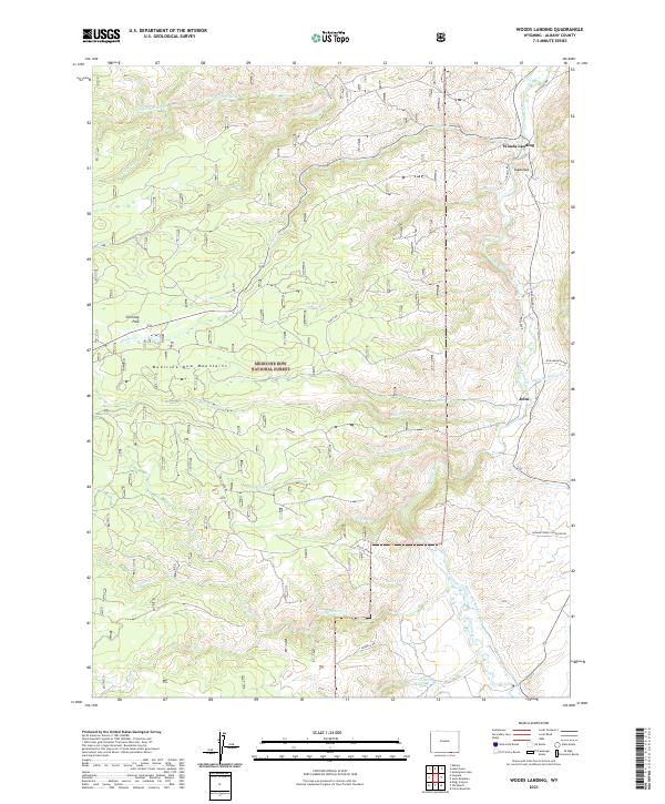
2021 Map of Woods Landing
USGS Topo · Published 2021About this map
Woods Landing and Jelm serve as the primary human outposts in this high-altitude landscape where the Laramie River carves through the eastern edge of the Medicine Bow Mountains. This modern topographic study shows a complex network of forestry and mountain access roads, such as Boswell Rd and Jelm Mountain Rd, which snake through the protected reaches of the Medicine Bow National Forest.
Find a feature on this map
37 named features on this map. Tap any name to fly to it.
Don’t see what you’re looking for? This feature index may not catch every label — zoom into the map to look around manually.
Map Details
Editions of this 2021 Woods Landing Map
This is the sole edition of this map. No revisions or reprints were ever made.
Other maps of this area

1895 · Laramie
USGS Topo · 1:125,000

1902 · Laramie
USGS Topo · 1:125,000

1905 · Laramie
USGS Topo · 1:125,000

1906 · Medicine Bow
USGS Topo · 1:125,000

1906 · Laramie
USGS Topo · 1:125,000

1908 · Laramie
USGS Topo · 1:125,000

1908 · Medicine Bow
USGS Topo · 1:125,000

1916 · Home
USGS Topo · 1:125,000

1920 · Home
USGS Topo · 1:125,000

1950 · Kings Canyon
USGS Topo · 1:24,000