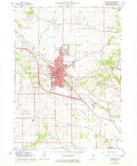
1963 Map of Woodstock
USGS Topo · Published 1973About this map
Woodstock serves as the focal point of this McHenry County study, showing the city's infrastructure and residential expansion during the mid-twentieth century. The rail lines of the Chicago and North Western bisect the town, anchoring a landscape that blends urban development with rural township divisions. To the northeast, the shoreline of Wonder Lake is visible, while the southern reaches follow the course of the Kishwaukee River through Dorr and Seneca townships.
Find a feature on this map
61 named features on this map. Tap any name to fly to it.
Don’t see what you’re looking for? This feature index may not catch every label — zoom into the map to look around manually.
Map Details
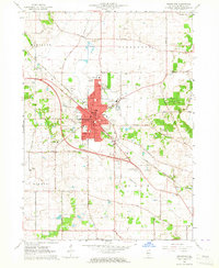
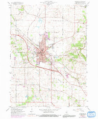
Editions of this 1963 Woodstock Map
3 editions found
Other maps of this area

1925 · Elgin
USGS Topo · 1:62,500

1926 · Mc Henry
USGS Topo · 1:62,500

1932 · Harvard
USGS Topo · 1:48,000

1937 · Harvard
USGS Topo · 1:62,500

1938 · Genoa
USGS Topo · 1:62,500

1940 · Elgin
USGS Topo · 1:62,500

1944 · McHenry
USGS Topo · 1:62,500

1954 · Rockford
USGS Topo · 1:250,000

1955 · Rockford
USGS Topo · 1:250,000

1958 · Rockford
USGS Topo · 1:250,000