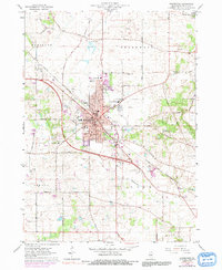
1963 Map of Woodstock
USGS Topo · Published 1991About this map
Woodstock serves as the focal point of this McHenry County landscape, showing the town's structural evolution in the early 1960s. The commercial and civic heart is clearly defined by the Courthouse, Water Tank, and Post Office, while the surrounding neighborhoods are anchored by institutions such as St Marys School and Dean School. The Chicago and North Western railroad cuts diagonally across the terrain, illustrating the historical transportation link that shaped the town's growth.
Find a feature on this map
67 named features on this map. Tap any name to fly to it.
Don’t see what you’re looking for? This feature index may not catch every label — zoom into the map to look around manually.
Map Details
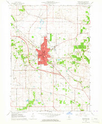
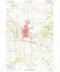
Editions of this 1963 Woodstock Map
3 editions found
Other maps of this area

1925 · Elgin
USGS Topo · 1:62,500

1926 · Mc Henry
USGS Topo · 1:62,500

1932 · Harvard
USGS Topo · 1:48,000

1937 · Harvard
USGS Topo · 1:62,500

1938 · Genoa
USGS Topo · 1:62,500

1940 · Elgin
USGS Topo · 1:62,500

1944 · McHenry
USGS Topo · 1:62,500

1954 · Rockford
USGS Topo · 1:250,000

1955 · Rockford
USGS Topo · 1:250,000

1958 · Rockford
USGS Topo · 1:250,000