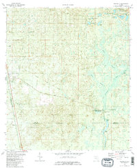
1981 Map of Woodville
USGS Topo · Published 1982About this map
The Natural Bridge Battlefield State Historic Site marks a pivotal point on this landscape where the St Marks River disappears underground, creating a natural land bridge. In the early 1980s, the area around Woodville and Vereen reflects a complex hydrologic network of sinks and springs, including Natural Bridge Spring and St Marks Spring. The historical imprint of the Forbes Purchase Line and Natural Bridge Road cuts across the terrain, indicating old property boundaries and transit routes that predate the modern era.
Find a feature on this map
30 named features on this map. Tap any name to fly to it.
Don’t see what you’re looking for? This feature index may not catch every label — zoom into the map to look around manually.
Map Details
Editions of this 1981 Woodville Map
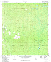
2 editions found
Other maps of this area

1940 · Tallahassee
USGS Topo · 1:62,500

1940 · Arran
USGS Topo · 1:62,500

1942 · Tallahassee
USGS Topo · 1:62,500

1943 · Arran
USGS Topo · 1:62,500

1943 · Tallahassee
USGS Topo · 1:62,500

1954 · Lloyd
USGS Topo · 1:24,000

1954 · Lafayette
USGS Topo · 1:24,000

1954 · Cody
USGS Topo · 1:24,000

1954 · Woodville
USGS Topo · 1:24,000

1954 · St. Marks NE
USGS Topo · 1:24,000