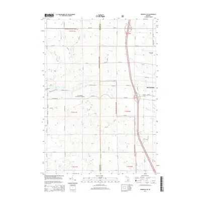
2014 Map of Woodville NE
USGS Topo · Published 2014About this map
The western edges of Big Rapids meet the thick woodlands of the Manistee National Forest in this 2014 topographic survey. This area of Mecosta and Newaygo counties is defined by a heavy concentration of water bodies and tributaries, including Hungerford Lake, Bisel Lake, and the winding course of Mitchell Creek. The landscape transitions from the urbanized fringe of Big Rapids near Roben-Hood Airport to a rural network of county roads like 19 Mile Rd and Cottonwood Ave. For family historians and local researchers, the map provides precise locations for several burial grounds, including Hungerford Cem, Van Gilder Cem, and Mt Camp Cem. This modern record effectively documents the intersection of public forest lands with the growing residential and infrastructure corridors of west Michigan.
Find a feature on this map
57 named features on this map. Tap any name to fly to it.
Don’t see what you’re looking for? This feature index may not catch every label — zoom into the map to look around manually.
Map Details
Editions of this 2014 Woodville NE Map
This is the sole edition of this map. No revisions or reprints were ever made.
Other maps of this area

1954 · Midland
USGS Topo · 1:250,000

1958 · Midland
USGS Topo · 1:250,000

1958 · Woodville
USGS Topo · 1:62,500

1958 · Big Rapids
USGS Topo · 1:62,500

1959 · Midland
USGS Topo · 1:250,000

1959 · Evart
USGS Topo · 1:62,500

1959 · Reed City
USGS Topo · 1:62,500

1966 · Midland
USGS Topo · 1:250,000

1976 · Evart SW
USGS Topo · 1:24,000

1976 · Big Rapids SW
USGS Topo · 1:24,000