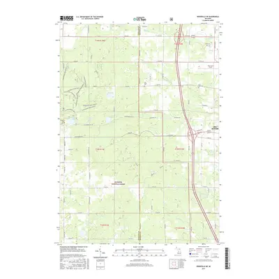
2017 Map of Woodville NE
USGS Topo · Published 2017About this map
The eastern edges of the Manistee National Forest dominate this landscape, where the wooded terrain of Newaygo and Mecosta Counties meets the expanding outskirts of Big Rapids. This area serves as a significant recreational hub, featuring an extensive network of specialized trails including Hungerford Bike Trail and various segments of the Hungerford Horse paths. These trails weave through a dense lake district containing Mud Lake, Turnbull Lake, and Hungerford Lake.
Find a feature on this map
57 named features on this map. Tap any name to fly to it.
Don’t see what you’re looking for? This feature index may not catch every label — zoom into the map to look around manually.
Map Details
Editions of this 2017 Woodville NE Map
This is the sole edition of this map. No revisions or reprints were ever made.
Other maps of this area

1954 · Midland
USGS Topo · 1:250,000

1958 · Midland
USGS Topo · 1:250,000

1958 · Woodville
USGS Topo · 1:62,500

1958 · Big Rapids
USGS Topo · 1:62,500

1959 · Midland
USGS Topo · 1:250,000

1959 · Evart
USGS Topo · 1:62,500

1959 · Reed City
USGS Topo · 1:62,500

1966 · Midland
USGS Topo · 1:250,000

1976 · Evart SW
USGS Topo · 1:24,000

1976 · Big Rapids SW
USGS Topo · 1:24,000