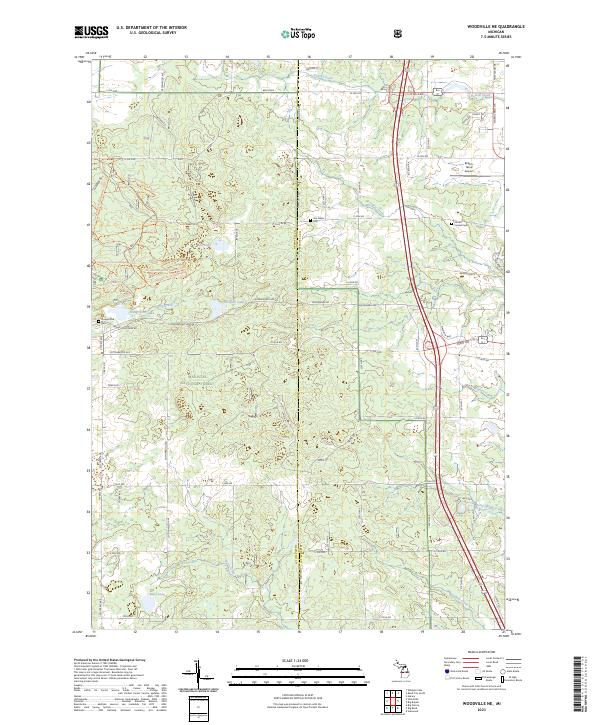
2023 Map of Woodville NE
USGS Topo · Published 2023About this map
Manistee National Forest encompasses a significant portion of this landscape along the Newaygo Co Mecosta Co boundary. The terrain is defined by a dense network of glacial lakes and small drainage systems, including Hungerford Lake, Bisel Lake, and the winding Betts Creek. Historically, the area near Hungerford Cem reflects a pattern of rural settlement that is now largely integrated into the forest and small-scale recreation. Recreational use is prominent, as evidenced by specialized paths like the Hungerford Bike Trl and various Hungerford Horse Mapseg trails. In the northeastern corner, the Roben-Hood Airport and Mount Carmel Cem sit near the more developed corridors of the county line, while the southern reaches remain dominated by the forest's protected acreage and small water bodies like Winters Creek.
Find a feature on this map
54 named features on this map. Tap any name to fly to it.
Don’t see what you’re looking for? This feature index may not catch every label — zoom into the map to look around manually.
Map Details
Editions of this 2023 Woodville NE Map
This is the sole edition of this map. No revisions or reprints were ever made.
Other maps of this area

1954 · Midland
USGS Topo · 1:250,000

1958 · Midland
USGS Topo · 1:250,000

1958 · Woodville
USGS Topo · 1:62,500

1958 · Big Rapids
USGS Topo · 1:62,500

1959 · Midland
USGS Topo · 1:250,000

1959 · Evart
USGS Topo · 1:62,500

1959 · Reed City
USGS Topo · 1:62,500

1966 · Midland
USGS Topo · 1:250,000

1976 · Evart SW
USGS Topo · 1:24,000

1976 · Big Rapids SW
USGS Topo · 1:24,000
Featured Places
- Big Rapids, MI
- Goodwell Township, MI
- Norwich Township, MI
- Mecosta Township, MI
- Green Charter Township, MI