
1958 Map of Woodville
USGS Topo · Published 1960About this map
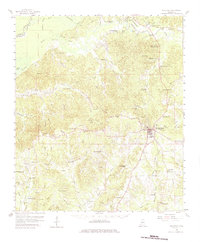
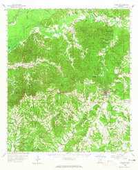
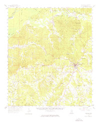
The Woodville area of southwestern Mississippi is defined by its complex network of waterways, where the Homochitto River and Buffalo River wind through the northern reaches of the Adams Co Wilkinson Co boundary. In the late 1950s, this landscape was characterized by numerous rural religious and educational centers, such as Macedonia Sch, St Peters Ch, and Ashwood Ch, reflecting a deeply rooted community structure. Many of these sites, along with family and local burial grounds like Wilkinson Cem and Bowling Green Cem, provide critical touchpoints for genealogical research in this part of Wilkinson County.
Find a feature on this map
95 named features on this map. Tap any name to fly to it.
Don’t see what you’re looking for? This feature index may not catch every label — zoom into the map to look around manually.
Map Details
Editions of this 1958 Woodville Map
4 editions found
Other maps of this area

1906 · Bayou Sara
USGS Topo · 1:125,000

1936 · Woodville
USGS Topo · 1:62,500

1939 · St. Francisville
USGS Topo · 1:62,500

1939 · Kingston
USGS Topo · 1:62,500

1939 · Artonish
USGS Topo · 1:62,500

1939 · Deer Park
USGS Topo · 1:62,500

1941 · Lost Creek
USGS Topo · 1:31,680

1941 · Batchelor
USGS Topo · 1:62,500

1945 · Lost Creek
USGS Topo · 1:31,680

1953 · Natchez
USGS Topo · 1:250,000