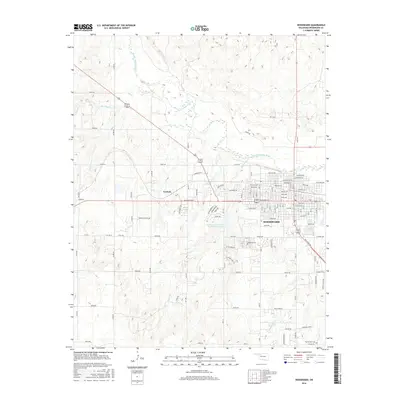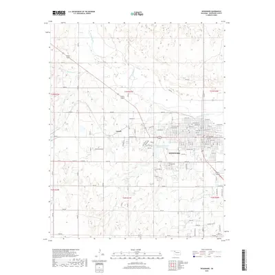
1985 Map of Woodward
USGS Topo · Published 1985About this map
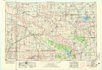
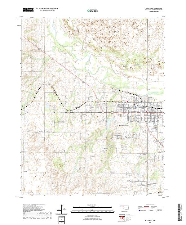
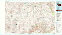
The North Canadian River and Canadian River corridors define the topography of Northwest Oklahoma in this mid-1980s survey. The regional center of Woodward serves as a hub for the surrounding plains, connected to smaller agricultural communities like Shattuck, Arnett, and Mooreland. The map reveals a landscape heavily influenced by the petroleum industry, with several designated Oil and Gas Fields scattered across the plains. A significant cultural landmark, the Old Indian Treaty Boundary, traverses the southern portion of the map, marking a historical division in the land. Transport is dominated by the Atchison Topeka and Santa Fe railroad line, which runs diagonally through the quadrangle, linking towns such as Fargo, Gage, and Tangier. Recreation and conservation areas are also prominent, including Boiling Springs State Park and the extensive Ellis County State Wildlife Management Area.
Find a feature on this map
60 named features on this map. Tap any name to fly to it.
Don’t see what you’re looking for? This feature index may not catch every label — zoom into the map to look around manually.
Map Details
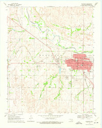
Editions of this 1985 Woodward Map
2 editions found
Historical Maps of Woodward Through Time
9 maps found