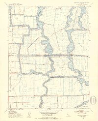
1952 Map of Woodward Island
USGS Topo · Published 1953About this map
The low-lying reclaimed lands of the Contra Costa and San Joaquin County border define this 1952 study. This complex aquatic landscape is characterized by its numerous tracts and islands, including the Orwood Tract, Woodward Island, and Victoria Island, all separated by a network of waterways like the Old River and Middle River. Human engineering is pervasive throughout the delta, shown through the massive Mokelumne Aqueduct, numerous siphons, and an intricate system of levees and pump houses that protect the agricultural tracts.
Find a feature on this map
44 named features on this map. Tap any name to fly to it.
Don’t see what you’re looking for? This feature index may not catch every label — zoom into the map to look around manually.
Map Details
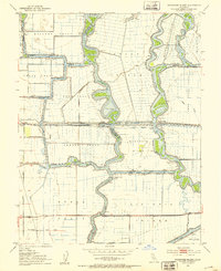
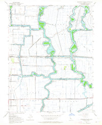
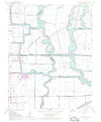
Editions of this 1952 Woodward Island Map
4 editions found
Other maps of this area

1894 · Lodi
USGS Topo · 1:125,000

1910 · Bouldin
USGS Topo · 1:31,680

1910 · Jersey
USGS Topo · 1:31,680

1910 · Headreach
USGS Topo · 1:31,680

1911 · Byron Hot Springs
USGS Topo · 1:31,680

1913 · Woodward Island
USGS Topo · 1:31,680

1913 · Holt
USGS Topo · 1:31,680

1914 · Brentwood
USGS Topo · 1:31,680

1914 · Bethany
USGS Topo · 1:31,680

1914 · Union Island
USGS Topo · 1:31,680