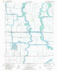
1978 Map of Woodward Island
USGS Topo · Published 1979About this map
Bacon Island and the surrounding reclaimed tracts define this portion of the Sacramento-San Joaquin River Delta during the late 1970s. The landscape is a complex network of man-made waterways and levees, where the Old River and Middle River snake between vast agricultural tracts like the Holland Tract and Orwood Tract. This environment required specialized infrastructure for transport and resource management, evidenced by the Woodward Island Ferry and the massive Mokelumne Aqueduct traversing the low-lying terrain. Small rail-side settlements such as Bixler and Werner sit along the Atchison Topeka and Santa Fe railroad line, which cuts a straight path across the wetlands. The map also documents institutional and social landmarks, including the Rindge Sch on Woodward Island and the Contra Costa Co Boys Ranch, illustrating how even the most fluid delta landscapes were thoroughly organized for industry and habitation.
Find a feature on this map
48 named features on this map. Tap any name to fly to it.
Don’t see what you’re looking for? This feature index may not catch every label — zoom into the map to look around manually.
Map Details
Editions of this 1978 Woodward Island Map
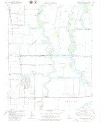
2 editions found
Other maps of this area

1894 · Lodi
USGS Topo · 1:125,000

1910 · Bouldin
USGS Topo · 1:31,680

1910 · Jersey
USGS Topo · 1:31,680

1910 · Headreach
USGS Topo · 1:31,680

1911 · Byron Hot Springs
USGS Topo · 1:31,680

1913 · Woodward Island
USGS Topo · 1:31,680

1913 · Holt
USGS Topo · 1:31,680

1914 · Brentwood
USGS Topo · 1:31,680

1914 · Bethany
USGS Topo · 1:31,680

1914 · Union Island
USGS Topo · 1:31,680