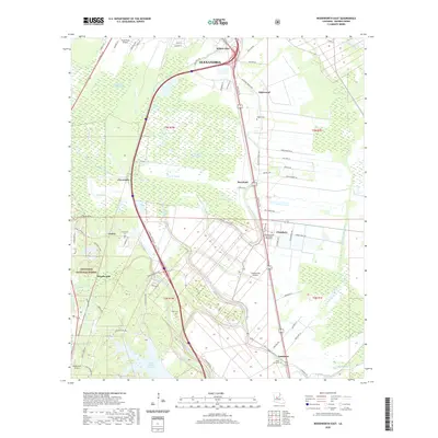
2020 Map of Woodworth East
USGS Topo · Published 2020About this map
Alexandria and its southern suburbs define this part of Rapides Parish, where the urban grid gives way to a complex system of bayous and agricultural land. The landscape is dominated by the meandering paths of Bayou Robert and Bayou Boeuf, which cut through the fertile alluvial plain. This 2020 record highlights the significant footprint of Louisiana State University Alexandria in the community of Chambers, positioned between the growing residential areas of Moreland and Lamourie.
Find a feature on this map
81 named features on this map. Tap any name to fly to it.
Don’t see what you’re looking for? This feature index may not catch every label — zoom into the map to look around manually.
Map Details
Editions of this 2020 Woodworth East Map
This is the sole edition of this map. No revisions or reprints were ever made.
Other maps of this area

1935 · Lecompte
USGS Topo · 1:62,500

1941 · Alexandria
USGS Topo · 1:62,500

1941 · Boyce
USGS Topo · 1:62,500

1945 · Boyce SE
USGS Topo · 1:31,680

1949 · Boyce SE
USGS Topo · 1:31,680

1953 · Alexandria
USGS Topo · 1:250,000

1955 · Alexandria
USGS Topo · 1:250,000

1956 · Forest Hill
USGS Topo · 1:62,500

1956 · Boyce
USGS Topo · 1:62,500

1957 · Alexandria
USGS Topo · 1:62,500