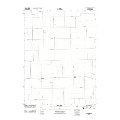
2012 Map of Woodworth
USGS Topo · Published 2012About this map
Agricultural grid lines define the landscape around Woodworth, a small community in Iroquois County that serves as the focal point of this rural prairie survey. The map reveals a deeply rooted German Lutheran heritage, evident in the presence of Saint Paul Lutheran Cem near the town center and Saint Peter's Lutheran Cem to the north. These sites, along with the Schwer Cem in the neighboring settlement of Schwer, provide significant touchstones for genealogical research in the region.
Find a feature on this map
33 named features on this map. Tap any name to fly to it.
Don’t see what you’re looking for? This feature index may not catch every label — zoom into the map to look around manually.
Map Details
Editions of this 2012 Woodworth Map
This is the sole edition of this map. No revisions or reprints were ever made.
Other maps of this area

1935 · Watseka
USGS Topo · 1:48,000

1938 · Milford
USGS Topo · 1:48,000

1939 · Watseka
USGS Topo · 1:62,500

1939 · Cissna Park
USGS Topo · 1:62,500

1944 · Milford
USGS Topo · 1:62,500

1944 · Gilman
USGS Topo · 1:62,500

1946 · Gilman
USGS Topo · 1:62,500

1949 · Cissna Park
USGS Topo · 1:62,500

1953 · Danville
USGS Topo · 1:250,000

1955 · Danville
USGS Topo · 1:250,000