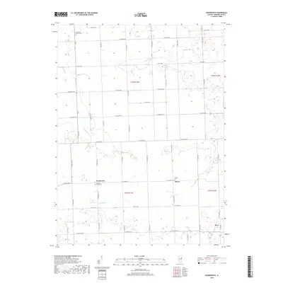
2018 Map of Woodworth
USGS Topo · Published 2018About this map
Woodworth and Schwer anchor this section of Iroquois County, where the landscape is defined by the grid-like precision of agricultural roads and the winding paths of Shavetail Cr and Jefferson Cr. This area maintains a strong connection to its Lutheran heritage, evidenced by the central placement of Saint Paul Lutheran Cem and Saint Peter's Lutheran Cem near the primary settlements. The survey reflects a region deeply committed to its agrarian roots, with small hamlets like Bryce and Schwer serving as focal points for the surrounding rural sections. The township lines of t26n r13w and t25n r13w structure the territory, illustrating the orderly development of the Illinois prairie. Beyond the settlements, the map details the subtle elevation changes near the creek beds, providing a clear view of the natural drainage systems that define the local topography.
Find a feature on this map
26 named features on this map. Tap any name to fly to it.
Don’t see what you’re looking for? This feature index may not catch every label — zoom into the map to look around manually.
Map Details
Editions of this 2018 Woodworth Map
This is the sole edition of this map. No revisions or reprints were ever made.
Other maps of this area

1935 · Watseka
USGS Topo · 1:48,000

1938 · Milford
USGS Topo · 1:48,000

1939 · Watseka
USGS Topo · 1:62,500

1939 · Cissna Park
USGS Topo · 1:62,500

1944 · Milford
USGS Topo · 1:62,500

1944 · Gilman
USGS Topo · 1:62,500

1946 · Gilman
USGS Topo · 1:62,500

1949 · Cissna Park
USGS Topo · 1:62,500

1953 · Danville
USGS Topo · 1:250,000

1955 · Danville
USGS Topo · 1:250,000