2011 Map of Woodworth
USGS Topo · Published 2011About this map
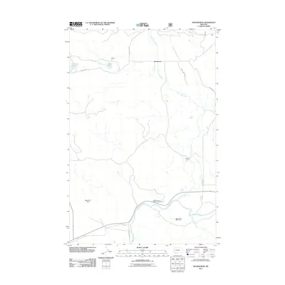
Cottonwood Creek defines the drainage patterns of this Powell County landscape, flowing southward past the small settlement of Woodworth toward its confluence with the Blackfoot River. The map reveals a transition from the lower riparian zones near the river to the higher, level terrain of Blanchard Flats to the west. Ranching and recreational land use are prominent features, with the Old Boyd Ranch and the Buffalo Trail Ranch Strip situated in the southern half of the quadrangle. Northward, the landscape is dotted with small water bodies like Tote Road Lake and Cott Lake, located near the crossroads of Cozy Corners. The transportation network is built around gravel and forest roads such as Sperry Grade Rd and Woodworth Rd, which provide access to the Russell Gates Memorial Campground along the riverbank.
Find a feature on this map
19 named features on this map. Tap any name to fly to it.
Don’t see what you’re looking for? This feature index may not catch every label — zoom into the map to look around manually.
Map Details
Editions of this 2011 Woodworth Map
This is the sole edition of this map. No revisions or reprints were ever made.
Other maps of this area

1902 · Ovando
USGS Topo · 1:125,000

1905 · Ovando
USGS Topo · 1:125,000

1919 · Drummond
USGS Topo · 1:125,000

1921 · Drummond
USGS Topo · 1:125,000

1947 · Butte
USGS Topo · 1:250,000

1955 · Choteau
USGS Topo · 1:250,000

1957 · Choteau
USGS Topo · 1:250,000

1958 · Butte
USGS Topo · 1:250,000

1958 · Choteau
USGS Topo · 1:250,000

1960 · Butte
USGS Topo · 1:250,000