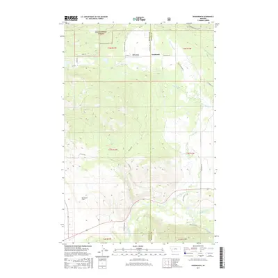
2017 Map of Woodworth
USGS Topo · Published 2017About this map
Lolo National Forest dominates the northern and western reaches of this landscape on the border of Missoula and Powell Counties. The small settlement of Woodworth sits at a transition point where the high forest slopes meet the complex drainage systems that feed the Blackfoot River to the south. This 2017 survey reveals a network of roads shaped by the timber and ranching history of the region, including Logging Rd and Sperry Grade Rd. The topographical data shows how local geography is defined by significant creek valleys such as Black Canyon Cr and Cottonwood Cr. Private infrastructure like the Black Canyon Ranch Airport and the expansive Blanchard Flats reflect the modern land use patterns of this Montana mountain corridor, where resource management and rural residence intersect.
Find a feature on this map
30 named features on this map. Tap any name to fly to it.
Don’t see what you’re looking for? This feature index may not catch every label — zoom into the map to look around manually.
Map Details
Editions of this 2017 Woodworth Map
This is the sole edition of this map. No revisions or reprints were ever made.
Other maps of this area

1902 · Ovando
USGS Topo · 1:125,000

1905 · Ovando
USGS Topo · 1:125,000

1919 · Drummond
USGS Topo · 1:125,000

1921 · Drummond
USGS Topo · 1:125,000

1947 · Butte
USGS Topo · 1:250,000

1955 · Choteau
USGS Topo · 1:250,000

1957 · Choteau
USGS Topo · 1:250,000

1958 · Butte
USGS Topo · 1:250,000

1958 · Choteau
USGS Topo · 1:250,000

1960 · Butte
USGS Topo · 1:250,000