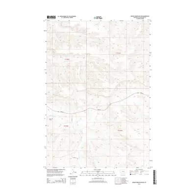
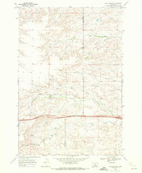
2014 Map of Woody Mountain NW
USGS Topo · Published 2014About this map
E Fork Pryor Cr and its tributaries carve a complex drainage system across this section of Yellowstone County. The landscape is defined by its watercourses, including Broken-Leg Cr in the north and the westward-flowing Alkali Cr. Human intervention in this environment is primarily represented by the established routes of Hardin Rd and Barnes Rd, which navigate the terrain alongside natural features like Lone Tree Coulee. This 2014 survey documents a territory where the Public Land Survey System grid intersects with the winding paths of Telegraph Cr, illustrating the relationship between formal land division and the topographical reality of the Montana plains.
Find a feature on this map
11 named features on this map. Tap any name to fly to it.
Don’t see what you’re looking for? This feature index may not catch every label — zoom into the map to look around manually.
Map Details
Editions of this 2014 Woody Mountain NW Map
This is the sole edition of this map. No revisions or reprints were ever made.
Other maps of this area

1893 · Huntley
USGS Topo · 1:125,000

1954 · Billings
USGS Topo · 1:250,000

1957 · Billings
USGS Topo · 1:250,000

1958 · Billings
USGS Topo · 1:250,000

1967 · Soda Springs
USGS Topo · 1:24,000

1967 · Cottonwood Creek
USGS Topo · 1:24,000
1967 · Badbaby Coulee
USGS Topo · 1:24,000
1969 · Woody Mountain NW
USGS Topo · 1:24,000
1969 · Indian Arrow
USGS Topo · 1:24,000
1969 · Gails Coulee
USGS Topo · 1:24,000