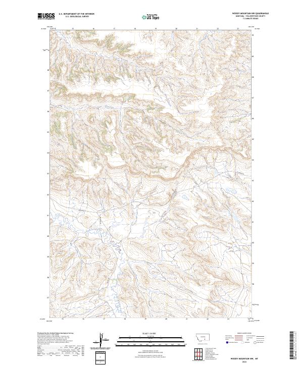
2024 Map of Woody Mountain NW
USGS Topo · Published 2024About this map
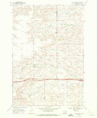
East Fork Pryor Creek meanders through this portion of Yellowstone County, shaping a landscape defined by its seasonal watercourses and rural road networks. The terrain is marked by the convergence of several drainages, including Indian Creek, Alkali Creek, and the descriptively named Broken Leg Creek. These waterways dictate the local geography, carving through the township and range divisions of t1s r28e and t2s r29e. Connectivity across this high plains environment is maintained by a handful of established routes such as Hardin Rd, Leechman Rd, and Barnes Rd. This 2024 survey documents the contemporary state of the land, reflecting the enduring rural character and the fundamental hydrography that has influenced ranching and transit patterns in the region for generations.
Find a feature on this map
11 named features on this map. Tap any name to fly to it.
Don’t see what you’re looking for? This feature index may not catch every label — zoom into the map to look around manually.
Map Details
Editions of this 2024 Woody Mountain NW Map
This is the sole edition of this map. No revisions or reprints were ever made.
Other maps of this area

1893 · Huntley
USGS Topo · 1:125,000

1954 · Billings
USGS Topo · 1:250,000

1957 · Billings
USGS Topo · 1:250,000

1958 · Billings
USGS Topo · 1:250,000

1967 · Soda Springs
USGS Topo · 1:24,000

1967 · Cottonwood Creek
USGS Topo · 1:24,000
1967 · Badbaby Coulee
USGS Topo · 1:24,000
1969 · Woody Mountain NW
USGS Topo · 1:24,000
1969 · Indian Arrow
USGS Topo · 1:24,000
1969 · Gails Coulee
USGS Topo · 1:24,000