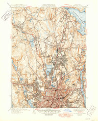
1939 Map of Worcester North
USGS Topo · Published 1949About this map
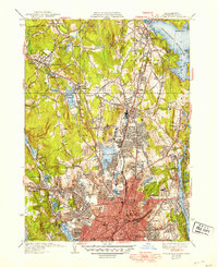
Worcester and its northern suburbs are captured here in a period of significant mid-century growth, centering on the urban density of Worcester and the expanding academic footprint of Assumption College and the Worcester Polytechnic Institute. The landscape is dominated by the massive Wachusett Reservoir to the northeast and Lake Quinsigamond to the southeast, illustrating how water resources and recreation areas defined the city’s margins. Transportation patterns are anchored by the Boston and Maine Railroad, which threads through industrial and residential clusters like Greendale and Chaffinville.
Find a feature on this map
82 named features on this map. Tap any name to fly to it.
Don’t see what you’re looking for? This feature index may not catch every label — zoom into the map to look around manually.
Map Details
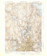
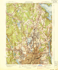
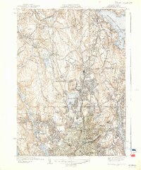
Editions of this 1939 Worcester North Map
5 editions found
Other maps of this area

1885 · Worcester
USGS Topo · 1:62,500

1886 · Worcester
USGS Topo · 1:62,500

1886 · Blackstone
USGS Topo · 1:62,500

1887 · Marlboro
USGS Topo · 1:62,500

1889 · Marlboro
USGS Topo · 1:62,500

1889 · Blackstone
USGS Topo · 1:62,500

1889 · Webster
USGS Topo · 1:62,500

1892 · Webster
USGS Topo · 1:62,500

1892 · Worcester
USGS Topo · 1:62,500

1893 · Blackstone
USGS Topo · 1:62,500