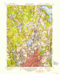
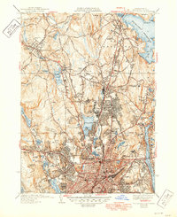
1939 Map of Worcester North
USGS Topo · Published 1949About this map
The industrialized valley of Worcester and the surrounding townships of Holden and West Boylston are captured here just before the mid-century. The map illustrates a landscape of institutional growth and civil infrastructure, dominated by the Wachett Reservoir to the northeast and the extensive network of the Boston and Maine RR cutting through the terrain. The presence of specialized facilities like the Worcester County Tuberculosis Hospital and the State Hospital reflects the era's focus on centralized public health and social services. Education is equally prominent, with campuses for Assumption College, State Teachers College, and Worcester Academy scattered across the hills. From the suburban clusters of Chaffinville and Greendale to the municipal core near City Hall, the sheet provides a meticulous record of New England's transition from rural water-power sites to a modern urban center.
Find a feature on this map
81 named features on this map. Tap any name to fly to it.
Don’t see what you’re looking for? This feature index may not catch every label — zoom into the map to look around manually.
Map Details
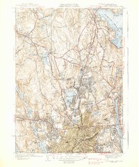
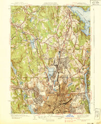
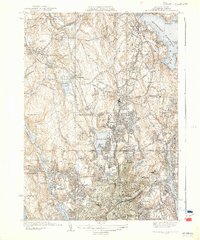
Editions of this 1939 Worcester North Map
5 editions found
Other maps of this area

1885 · Worcester
USGS Topo · 1:62,500

1886 · Worcester
USGS Topo · 1:62,500

1886 · Blackstone
USGS Topo · 1:62,500

1887 · Marlboro
USGS Topo · 1:62,500

1889 · Marlboro
USGS Topo · 1:62,500

1889 · Blackstone
USGS Topo · 1:62,500

1889 · Webster
USGS Topo · 1:62,500

1892 · Webster
USGS Topo · 1:62,500

1892 · Worcester
USGS Topo · 1:62,500

1893 · Blackstone
USGS Topo · 1:62,500