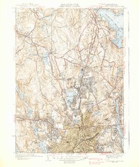
1939 Map of Worcester North
USGS Topo · Published 1939About this map
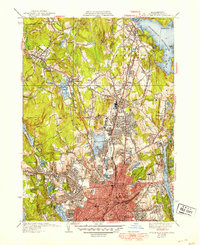
Holden Center and the surrounding villages of Dawson and Chaffinville occupy the high ground in this pre-war survey, where the Quinapoxet River feeds into the expansive Wachusett Reservoir. The landscape is defined by its complex water system, from the Holden Reservoirs in the west to the southern reaches of Lake Quinsigamond in the east. In the urban core of Worcester, a dense concentration of civic institutions and healthcare facilities appears, including Assumption College, Clark University, and the Worcester State Hospital. The infrastructure of the Boston and Maine RR connects these centers, serving industrial areas near Greendale and North Worcester. This era shows the city as a major regional hub, characterized by a mix of educational campuses like the State Teachers College and public spaces such as Green Hill Park and Elm Park.
Find a feature on this map
81 named features on this map. Tap any name to fly to it.
Don’t see what you’re looking for? This feature index may not catch every label — zoom into the map to look around manually.
Map Details
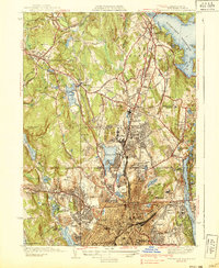
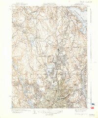
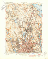
Editions of this 1939 Worcester North Map
5 editions found
Other maps of this area

1885 · Worcester
USGS Topo · 1:62,500

1886 · Worcester
USGS Topo · 1:62,500

1886 · Blackstone
USGS Topo · 1:62,500

1887 · Marlboro
USGS Topo · 1:62,500

1889 · Marlboro
USGS Topo · 1:62,500

1889 · Blackstone
USGS Topo · 1:62,500

1889 · Webster
USGS Topo · 1:62,500

1892 · Webster
USGS Topo · 1:62,500

1892 · Worcester
USGS Topo · 1:62,500

1893 · Blackstone
USGS Topo · 1:62,500