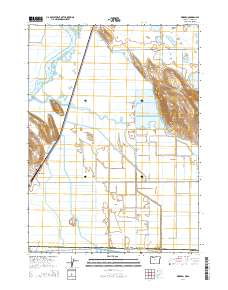
2014 Map of Worden
USGS Topo · Published 2014About this map
The Klamath Hills rise sharply above the reclaimed wetlands and agricultural tracts along the Oregon-California border, dominated by high points like Captain Jack. This landscape is defined by an intricate network of irrigation and drainage infrastructure, including the Klamath Strait Drain, Center Canal, and Ady Canal, which support the intensive farming in the reclaimed basins. The small settlement of Worden sits at the western edge of this basin, accompanied by the Worden Cem near the base of the surrounding slopes.
Find a feature on this map
34 named features on this map. Tap any name to fly to it.
Don’t see what you’re looking for? This feature index may not catch every label — zoom into the map to look around manually.
Map Details
Editions of this 2014 Worden Map
This is the sole edition of this map. No revisions or reprints were ever made.
Other maps of this area

1886 · Modoc Lava Bed
USGS Topo · 1:250,000

1889 · Klamath
USGS Topo · 1:250,000

1892 · Modoc Lava-Bed
USGS Topo · 1:250,000

1894 · Klamath
USGS Topo · 1:250,000

1950 · Mt. Dome
USGS Topo · 1:62,500

1950 · Dorris
USGS Topo · 1:62,500

1954 · Alturas
USGS Topo · 1:250,000

1955 · Klamath Falls
USGS Topo · 1:250,000

1957 · Merrill
USGS Topo · 1:62,500

1957 · Klamath Falls
USGS Topo · 1:62,500