
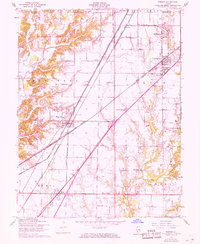
1954 Map of Worden
USGS Topo · Published 1959About this map
The boundary between Macoupin and Madison counties anchors this mid-century survey, a region defined by its dense intersection of transportation and industry. In Worden and Livingston, the landscape is partitioned by the heavy presence of the Chicago and North Western, Wabash, and Illinois Terminal railroads. These lines served the local extraction economy, evidenced by several Mine Dumps and emerging oil infrastructure including Oil Wells and an Oil Tank near the northern edge of the Olive township.
Find a feature on this map
44 named features on this map. Tap any name to fly to it.
Don’t see what you’re looking for? This feature index may not catch every label — zoom into the map to look around manually.
Map Details
Editions of this 1954 Worden Map
4 editions found
Other maps of this area

1912 · Gillespie
USGS Topo · 1:62,500

1915 · Gillespie
USGS Topo · 1:62,500

1915 · Mount Olive
USGS Topo · 1:62,500

1927 · Edwardsville
USGS Topo · 1:62,500

1932 · Edwardsville
USGS Topo · 1:62,500

1937 · New Douglas
USGS Topo · 1:48,000

1944 · New Douglas
USGS Topo · 1:62,500

1944 · Mount Olive
USGS Topo · 1:62,500

1950 · Edwardsville
USGS Topo · 1:24,000
1954 · Marine
USGS Topo · 1:24,000