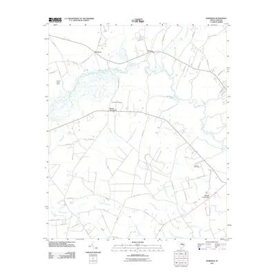
2011 Map of Workman
USGS Topo · Published 2011About this map
Black River meanders across the Lowcountry landscape of Williamsburg County, carving a path through dense wetlands and intersecting several major tributaries. The area is defined by its vast swamp networks, including Pudding Swamp, Clapp Swamp, and the expansive Bennett Swamp to the south. Historically significant crossroads anchor the rural road network, with Martins Crossroads and Belsers Crossroads serving as local landmarks. Near the bend of the river at Mouzon, the terrain transitions into a mosaic of small-scale agriculture and forest, characteristic of this interior coastal plain region.
Find a feature on this map
63 named features on this map. Tap any name to fly to it.
Don’t see what you’re looking for? This feature index may not catch every label — zoom into the map to look around manually.
Map Details
Editions of this 2011 Workman Map
This is the sole edition of this map. No revisions or reprints were ever made.
Other maps of this area

1920 · Mayesville
USGS Topo · 1:48,000

1920 · Manning
USGS Topo · 1:48,000

1921 · Manning
USGS Topo · 1:62,500

1921 · Mayesville
USGS Topo · 1:62,500

1943 · Mayesville
USGS Topo · 1:62,500

1944 · Manning
USGS Topo · 1:62,500

1946 · Kingstree
USGS Topo · 1:62,500

1946 · Lake City
USGS Topo · 1:62,500

1949 · Georgetown
USGS Topo · 1:250,000

1954 · Augusta
USGS Topo · 1:250,000