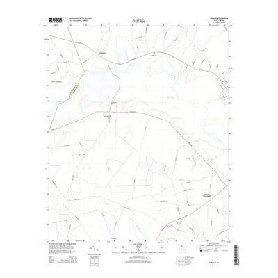
2014 Map of Workman
USGS Topo · Published 2014About this map
The Black River winds through the lowlands of Williamsburg and Clarendon Counties, defining the drainage patterns of this rural South Carolina landscape. In the early 21st century, the area remains centered on agricultural crossroads and small settlements like Workman, Mouzon, and Martins Crossroads. The intersection of Sumter Hwy and Manning Hwy serves as a primary transit corridor through the region, connecting these small communities to the surrounding coastal plain.
Find a feature on this map
71 named features on this map. Tap any name to fly to it.
Don’t see what you’re looking for? This feature index may not catch every label — zoom into the map to look around manually.
Map Details
Editions of this 2014 Workman Map
This is the sole edition of this map. No revisions or reprints were ever made.
Other maps of this area

1920 · Mayesville
USGS Topo · 1:48,000

1920 · Manning
USGS Topo · 1:48,000

1921 · Manning
USGS Topo · 1:62,500

1921 · Mayesville
USGS Topo · 1:62,500

1943 · Mayesville
USGS Topo · 1:62,500

1944 · Manning
USGS Topo · 1:62,500

1946 · Kingstree
USGS Topo · 1:62,500

1946 · Lake City
USGS Topo · 1:62,500

1949 · Georgetown
USGS Topo · 1:250,000

1954 · Augusta
USGS Topo · 1:250,000