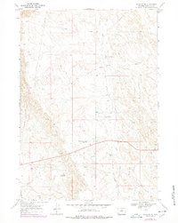
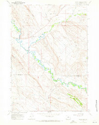
1967 Map of Worland SE
USGS Topo · Published 1978About this map
Tolman Shearing Pens sits at the heart of this Wyoming landscape, illustrating the regional reliance on livestock and water management during the late 1960s. The terrain is defined by the ephemeral drainage of Sand Creek and the East Fork, with man-made features like Tolman Sand Creek Reservoir and Clydes Reservoir providing essential water storage in the high desert.
Find a feature on this map
14 named features on this map. Tap any name to fly to it.
Don’t see what you’re looking for? This feature index may not catch every label — zoom into the map to look around manually.
Map Details
Editions of this 1967 Worland SE Map
2 editions found
Other maps of this area

1955 · Sheridan
USGS Topo · 1:250,000

1955 · Arminto
USGS Topo · 1:250,000

1958 · Sheridan
USGS Topo · 1:250,000

1958 · Arminto
USGS Topo · 1:250,000

1962 · Sheridan
USGS Topo · 1:250,000

1962 · Arminto
USGS Topo · 1:250,000
1966 · Banjo Flats West
USGS Topo · 1:24,000

1966 · Cabin Fork
USGS Topo · 1:24,000
1966 · Banjo Flats East
USGS Topo · 1:24,000
1967 · Weintz Draw
USGS Topo · 1:24,000