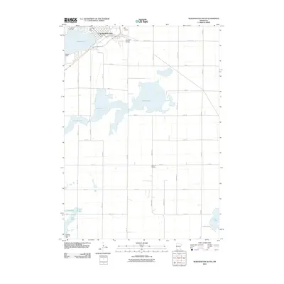
2010 Map of Worthington South
USGS Topo · Published 2010About this map
Worthington occupies the northern edge of this Nobles County landscape, centered around the vital waters of Okabena Lake. The town's early 21st-century footprint is anchored by the Worthington Post Office and several local landmarks including Saint Marys Cemetery and the Worthington Township Cemetery. Outside the municipal center, the terrain is defined by a series of significant water bodies, most notably the sprawling Ocheda Lake and the smaller Lake Bella to the southwest.
Find a feature on this map
32 named features on this map. Tap any name to fly to it.
Don’t see what you’re looking for? This feature index may not catch every label — zoom into the map to look around manually.
Map Details
Editions of this 2010 Worthington South Map
This is the sole edition of this map. No revisions or reprints were ever made.
Other maps of this area

1954 · Fairmont
USGS Topo · 1:250,000

1958 · Fairmont
USGS Topo · 1:250,000

1960 · Brewster
USGS Topo · 1:24,000

1960 · Reading
USGS Topo · 1:24,000

1960 · Bigelow
USGS Topo · 1:24,000

1960 · Worthington North
USGS Topo · 1:24,000

1960 · Worthington South
USGS Topo · 1:24,000

1960 · Round Lake
USGS Topo · 1:24,000

1970 · Harris
USGS Topo · 1:24,000

1972 · Ocheyedan
USGS Topo · 1:24,000