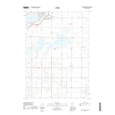
2019 Map of Worthington South
USGS Topo · Published 2019About this map
Worthington anchors the northern edge of this landscape, its residential grid extending toward the shores of Okabena Lake. The geography is defined by the Coteau des Prairies, a high plateau that shapes the drainage and wetland patterns of Nobles County. South of the city, the terrain is dotted with significant water bodies including the expansive Ocheda Lake, as well as Lake Bella and Indian Lake near the southern border. For those tracing local history, the map identifies Saint Marys Cem and Worthington Township Cem, situated just outside the primary settlement. The transportation network is dominated by the diagonal corridor of State Hwy 60 and a dense system of county roads like Co Rd 25, which organize the agricultural sections surrounding the town.
Find a feature on this map
57 named features on this map. Tap any name to fly to it.
Don’t see what you’re looking for? This feature index may not catch every label — zoom into the map to look around manually.
Map Details
Editions of this 2019 Worthington South Map
This is the sole edition of this map. No revisions or reprints were ever made.
Other maps of this area

1954 · Fairmont
USGS Topo · 1:250,000

1958 · Fairmont
USGS Topo · 1:250,000

1960 · Brewster
USGS Topo · 1:24,000

1960 · Reading
USGS Topo · 1:24,000

1960 · Bigelow
USGS Topo · 1:24,000

1960 · Worthington North
USGS Topo · 1:24,000

1960 · Worthington South
USGS Topo · 1:24,000

1960 · Round Lake
USGS Topo · 1:24,000

1970 · Harris
USGS Topo · 1:24,000

1972 · Ocheyedan
USGS Topo · 1:24,000