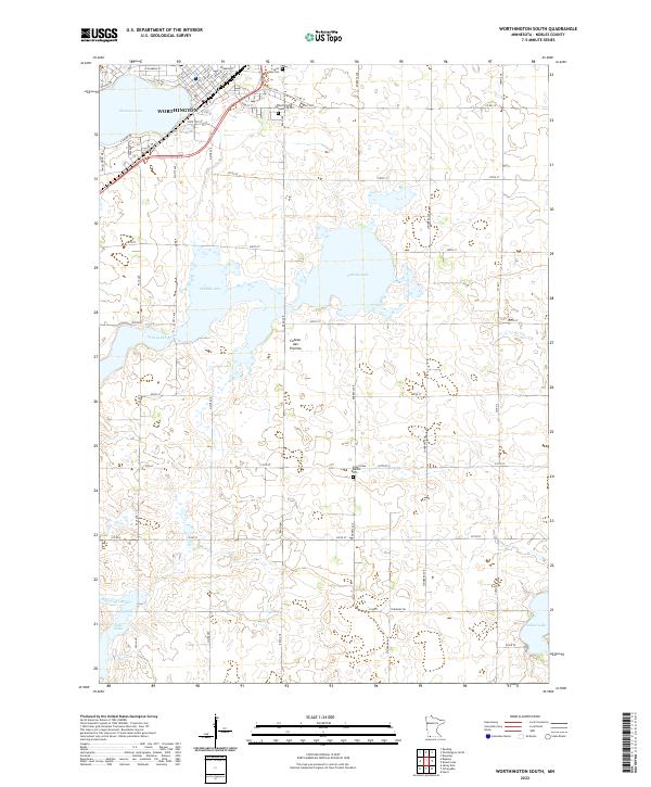
2022 Map of Worthington South
USGS Topo · Published 2022About this map
Worthington occupies the northwest corner of this prairie landscape, where the residential grid of Lake Ave and numbered streets meets the southern shores of Okabena Lake. The geography is defined by the Coteau des Prairies, a high plateau that shapes the drainage of the Ocheyedan River and creates a series of large, shallow basins including Ocheda Lake and Lake Bella. This 2022 survey captures a rural network of section-line roads, such as Read Ave and Roberts Ave, that connect isolated homesteads and cemeteries. For those tracing local heritage, the map clearly identifies several burial grounds, including Saint Marys Cem and Worthington Township Cem near the city, as well as the Indian Lake Baptist Cem located further south near the shoreline of Indian Lake.
Find a feature on this map
59 named features on this map. Tap any name to fly to it.
Don’t see what you’re looking for? This feature index may not catch every label — zoom into the map to look around manually.
Map Details
Editions of this 2022 Worthington South Map
This is the sole edition of this map. No revisions or reprints were ever made.
Other maps of this area

1954 · Fairmont
USGS Topo · 1:250,000

1958 · Fairmont
USGS Topo · 1:250,000

1960 · Brewster
USGS Topo · 1:24,000

1960 · Reading
USGS Topo · 1:24,000

1960 · Bigelow
USGS Topo · 1:24,000

1960 · Worthington North
USGS Topo · 1:24,000

1960 · Worthington South
USGS Topo · 1:24,000

1960 · Round Lake
USGS Topo · 1:24,000

1970 · Harris
USGS Topo · 1:24,000

1972 · Ocheyedan
USGS Topo · 1:24,000