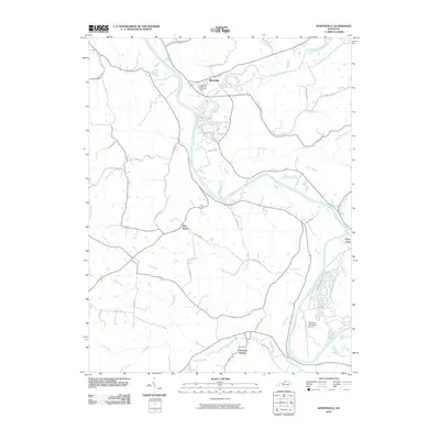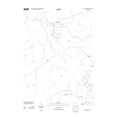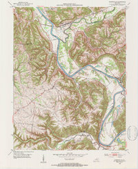
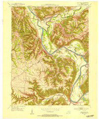
1952 Map of Worthville
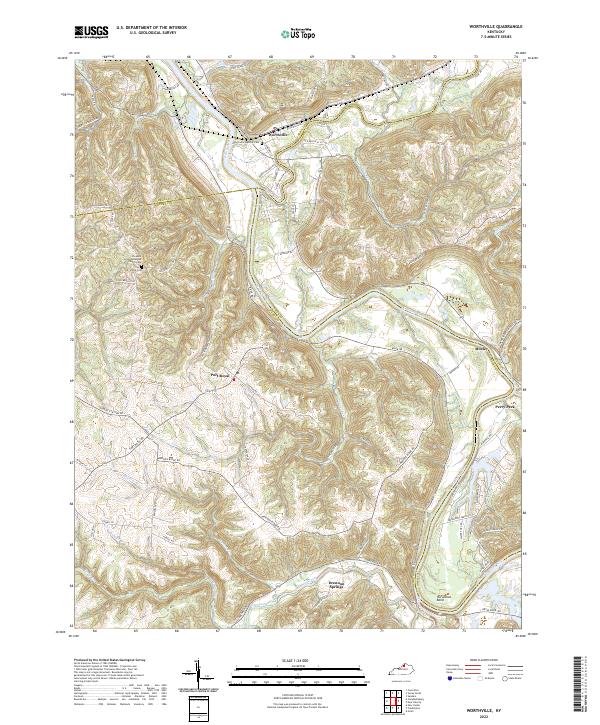
USGS Topo · Published 1984About this map
The winding Kentucky River carves deep, looping bends through this portion of Carroll, Henry, and Owen Counties, defining a landscape of narrow ridges and complex drainage patterns. In the early 1950s, the settlement of Worthville serves as a primary rail hub where the Louisville and Nashville railroad tracks parallel the river's path. To the south, the village of Port Royal and the historic vicinity of Drennon Springs reflect a rural Kentucky economy centered on river-bottom agriculture and localized trade. Smaller communities like Drennon and Moxley are connected by a network of winding roads, while local landmarks such as Drennon Chapel and Pleasant Union Ch indicate the social centers of these ridge-top and valley communities. The confluence of Eagle Creek and the main river highlights the importance of water-borne transport and early hydro-geography in shaping the local settlement patterns.
Find a feature on this map
28 named features on this map. Tap any name to fly to it.
Don’t see what you’re looking for? This feature index may not catch every label — zoom into the map to look around manually.
Map Details
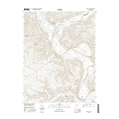
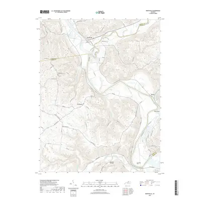
Editions of this 1952 Worthville Map
3 editions found
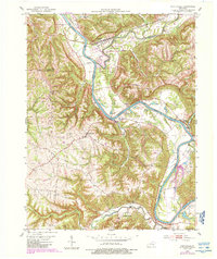
Historical Maps of Worthville Through Time
6 maps found