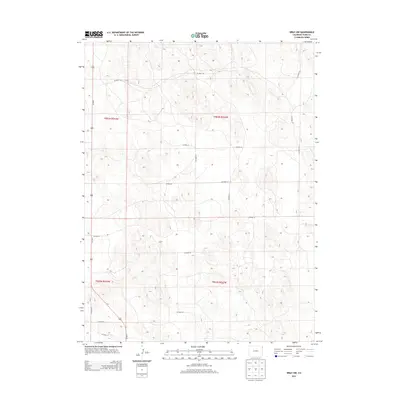
2013 Map of Wray NW
USGS Topo · Published 2013About this map
The high plains of eastern Yuma County are defined by a strict grid of section lines and gravel paths, where agriculture and livestock operations dominate the landscape. Us-385 N serves as the primary north-south artery, cutting through the western sections of the map. The terrain is marked by subtle topographic shifts and an extensive network of county roads, including Co Road 45 and Co Road 39, which facilitate movement between rural homesteads and larger regional centers.
Find a feature on this map
17 named features on this map. Tap any name to fly to it.
Don’t see what you’re looking for? This feature index may not catch every label — zoom into the map to look around manually.
Map Details
Editions of this 2013 Wray NW Map
This is the sole edition of this map. No revisions or reprints were ever made.
Other maps of this area

1954 · Sterling
USGS Topo · 1:250,000

1958 · Sterling
USGS Topo · 1:250,000

1961 · Robb
USGS Topo · 1:24,000

1961 · Laird
USGS Topo · 1:24,000

1961 · Wray
USGS Topo · 1:24,000

1971 · Alvin SW
USGS Topo · 1:24,000

1971 · Alvin
USGS Topo · 1:24,000

1971 · Wauneta
USGS Topo · 1:24,000

1971 · Wray NE
USGS Topo · 1:24,000

1971 · Eckley NE
USGS Topo · 1:24,000