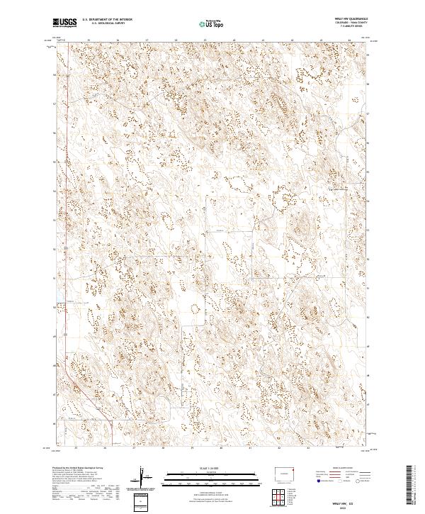
2022 Map of Wray NW
USGS Topo · Published 2022About this map
Cattle Trl and a network of section-line roads define the high plains of northeastern Colorado in this 2022 survey. Located in Yuma County, the landscape is organized by the Public Land Survey System, with boundaries marking township and range divisions such as t3n r44w and t3n r43w. The map reveals a land utilized for ranching and agriculture, where routes like Co Rd 45 and Co Rd Pp provide access to a terrain marked by subtle contours and depression features. This modern topographic study shows the persistent grid of rural infrastructure that supports the region's ranching economy, connecting remote parcels through a strictly planned system of county roads including Co Rd Kk and Co Rd Ll.
Find a feature on this map
14 named features on this map. Tap any name to fly to it.
Don’t see what you’re looking for? This feature index may not catch every label — zoom into the map to look around manually.
Map Details
Editions of this 2022 Wray NW Map
This is the sole edition of this map. No revisions or reprints were ever made.
Other maps of this area

1954 · Sterling
USGS Topo · 1:250,000

1958 · Sterling
USGS Topo · 1:250,000

1961 · Robb
USGS Topo · 1:24,000

1961 · Laird
USGS Topo · 1:24,000

1961 · Wray
USGS Topo · 1:24,000

1971 · Alvin SW
USGS Topo · 1:24,000

1971 · Alvin
USGS Topo · 1:24,000

1971 · Wauneta
USGS Topo · 1:24,000

1971 · Wray NE
USGS Topo · 1:24,000

1971 · Eckley NE
USGS Topo · 1:24,000