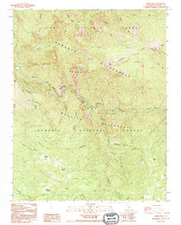
1992 Map of Wren Peak
USGS Topo · Published 1995About this map
The South Fork Kings River carves through this high-elevation landscape where the Sierra National Forest meets the Sequoia National Forest. The map detail highlights an extensive network of named sequoia groves, such as Lockwood Grove, Evans Grove, and Landslide Grove, indicating the complex management and preservation of these ancient stands within the Monarch Wilderness. Higher elevations are defined by peaks like Wren Peak and the Ridge Divide, separated from the river canyons by features like Windy Cliffs and Boyden Cave. The presence of Camp Seven (Site) provides a specific point of interest for those researching former logging or administrative camps in the Sierra Nevada. This survey illustrates the geography of the high country before modern fire regimes and management shifts altered the forest's character.
Find a feature on this map
50 named features on this map. Tap any name to fly to it.
Don’t see what you’re looking for? This feature index may not catch every label — zoom into the map to look around manually.
Map Details
Editions of this 1992 Wren Peak Map
2 editions found
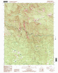
Other maps of this area

1903 · Tehipite
USGS Topo · 1:125,000

1905 · Tehipite
USGS Topo · 1:125,000

1948 · Fresno
USGS Topo · 1:250,000

1952 · Tehipite Dome
USGS Topo · 1:62,500

1953 · Marion Peak
USGS Topo · 1:62,500

1955 · Fresno
USGS Topo · 1:250,000

1956 · Fresno
USGS Topo · 1:250,000

1956 · Giant Forest
USGS Topo · 1:62,500
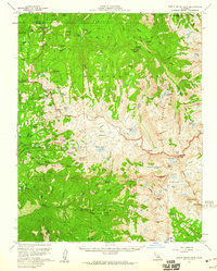
1956 · Triple Divide Peak
USGS Topo · 1:62,500

1958 · Fresno
USGS Topo · 1:250,000